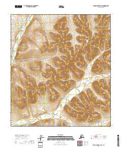
2018 Map of Table Mountain A-4 NE
USGS Topo · Published 2018About this map
The East Fork Sheenjek River flows along the western edge of this subarctic landscape in the Yukon-Koyukuk Census Area. This region is characterized by high-elevation drainage systems where the river is joined by seasonal tributaries like Eskimo Creek. The terrain is marked by significant topographic relief, with the elevations rising from the river valley into the surrounding highlands. The absence of roads or permanent structures on this U.S. Geological Survey sheet reflects the wilderness character of this portion of northeastern Alaska. Instead, the map detail focuses on the natural hydrology and the PLSS township boundaries of t14s r39e, t14s r40e, t15s r39e, and t15s r40e, which provide the only human-imposed grid over the natural drainage patterns of Eskimo Creek.
Find a feature on this map
7 named features on this map. Tap any name to fly to it.
Don’t see what you’re looking for? This feature index may not catch every label — zoom into the map to look around manually.
Map Details
Editions of this 2018 Table Mountain A-4 NE Map
This is the sole edition of this map. No revisions or reprints were ever made.
Other maps of this area

1951 · Table Mountain
USGS Topo · 1:250,000

1956 · Table Mountain
USGS Topo · 1:250,000

1964 · Table Mountain
USGS Topo · 1:250,000
1972 · Table Mountain B-3
USGS Topo · 1:63,360
1972 · Table Mountain A-4
USGS Topo · 1:63,360
1972 · Table Mountain B-4
USGS Topo · 1:63,360
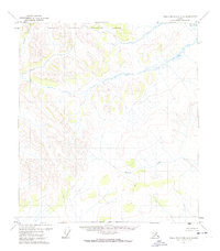
1972 · Table Mountain A-3
USGS Topo · 1:63,360
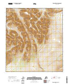
2018 · Table Mountain A-3 SW
USGS Topo · 1:25,000
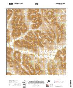
2018 · Table Mountain A-3 NW
USGS Topo · 1:25,000
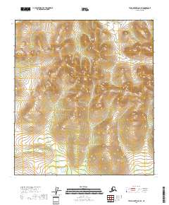
2018 · Table Mountain A-4 SE
USGS Topo · 1:25,000