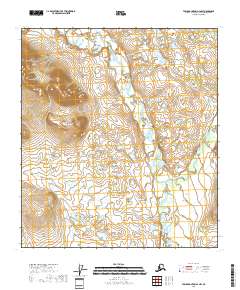
2018 Map of Table Mountain A-4 NW
USGS Topo · Published 2018About this map
The Sheenjek River defines the landscape of this remote subarctic region within the Yukon-Koyukuk Census Area. Flowing from the north, the river meanders through a valley characterized by numerous small ponds and wetland depressions, typical of the interior Alaskan wilderness. Near the center of the sheet, the East Fork Sheenjek River joins the main stem, creating a complex drainage pattern across the township boundaries of t14s r38e and t15s r39e. This map documents a pristine natural environment where the waterways are the primary geographic features, illustrating the seasonal hydrology of a land largely untouched by permanent settlement or infrastructure.
Find a feature on this map
6 named features on this map. Tap any name to fly to it.
Don’t see what you’re looking for? This feature index may not catch every label — zoom into the map to look around manually.
Map Details
Editions of this 2018 Table Mountain A-4 NW Map
This is the sole edition of this map. No revisions or reprints were ever made.
Other maps of this area

1951 · Table Mountain
USGS Topo · 1:250,000

1956 · Table Mountain
USGS Topo · 1:250,000

1964 · Table Mountain
USGS Topo · 1:250,000
1972 · Table Mountain A-5
USGS Topo · 1:63,360
1972 · Table Mountain A-4
USGS Topo · 1:63,360
1972 · Table Mountain B-4
USGS Topo · 1:63,360
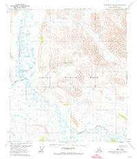
1972 · Table Mountain B-5
USGS Topo · 1:63,360
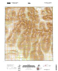
2018 · Table Mountain A-4 SE
USGS Topo · 1:25,000
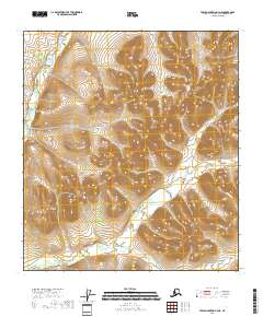
2018 · Table Mountain A-4 NE
USGS Topo · 1:25,000
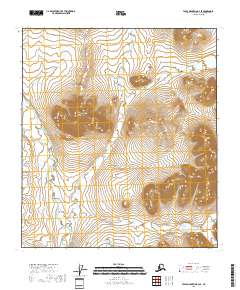
2018 · Table Mountain B-4 SE
USGS Topo · 1:25,000