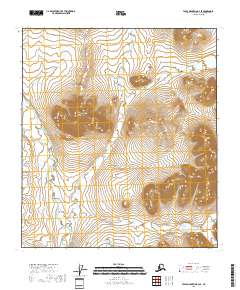
2018 Map of Table Mountain B-4 SE
USGS Topo · Published 2018About this map
Kaultui Mtn dominates the central landscape of this remote Yukon-Koyukuk quadrant, rising as a prominent topographic feature amidst a complex drainage network. The East Fork Sheenjek River flows through the western portion of the area, while the branching systems of Kaultuinjek Creek and its variant Kaultuinjek Cr carve deep valleys through the surrounding terrain. In the southeastern corner, Eskimo Cr marks a distinct drainage basin. This 2018 survey illustrates a wilderness primarily defined by its natural hydrology and sharp elevation changes, lacking any human-built structures, roads, or named settlements. The mapping reflects the preservation of the indigenous Arctic interior, where land divisions are marked by the Public Land Survey System grids rather than physical development.
Find a feature on this map
11 named features on this map. Tap any name to fly to it.
Don’t see what you’re looking for? This feature index may not catch every label — zoom into the map to look around manually.
Map Details
Editions of this 2018 Table Mountain B-4 SE Map
This is the sole edition of this map. No revisions or reprints were ever made.
Other maps of this area

1951 · Table Mountain
USGS Topo · 1:250,000

1956 · Table Mountain
USGS Topo · 1:250,000

1964 · Table Mountain
USGS Topo · 1:250,000
1972 · Table Mountain B-3
USGS Topo · 1:63,360
1972 · Table Mountain A-4
USGS Topo · 1:63,360
1972 · Table Mountain B-4
USGS Topo · 1:63,360
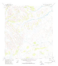
1972 · Table Mountain A-3
USGS Topo · 1:63,360
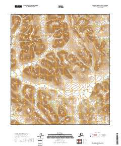
2018 · Table Mountain A-3 NW
USGS Topo · 1:25,000
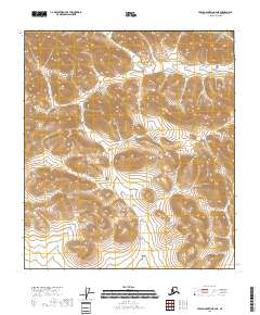
2018 · Table Mountain B-4 NE
USGS Topo · 1:25,000
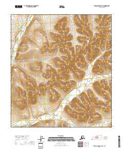
2018 · Table Mountain A-4 NE
USGS Topo · 1:25,000