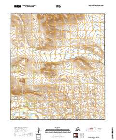
2018 Map of Table Mountain B-4 SW
USGS Topo · Published 2018About this map
Sheenjek River and its East Fork Sheenjek River dominate this high-latitude terrain within the Yukon-Koyukuk Census Area. The landscape is defined by the complex hydrology of these two water systems, which provide the primary geographical orientation for this part of the Alaskan interior. The map reveals a wild, unpopulated expanse where the movement of water across varying elevations is the only marked activity, showing the river systems as they appeared in 2018. This survey captures the region's character as an untouched wilderness, preserving the exact alignment of these remote waterways before any modern human encroachment.
Find a feature on this map
8 named features on this map. Tap any name to fly to it.
Don’t see what you’re looking for? This feature index may not catch every label — zoom into the map to look around manually.
Map Details
Editions of this 2018 Table Mountain B-4 SW Map
This is the sole edition of this map. No revisions or reprints were ever made.
Other maps of this area

1951 · Table Mountain
USGS Topo · 1:250,000

1956 · Table Mountain
USGS Topo · 1:250,000

1964 · Table Mountain
USGS Topo · 1:250,000
1972 · Table Mountain A-5
USGS Topo · 1:63,360
1972 · Table Mountain A-4
USGS Topo · 1:63,360
1972 · Table Mountain B-4
USGS Topo · 1:63,360
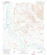
1972 · Table Mountain B-5
USGS Topo · 1:63,360
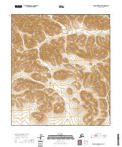
2018 · Table Mountain B-4 NE
USGS Topo · 1:25,000
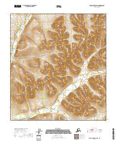
2018 · Table Mountain A-4 NE
USGS Topo · 1:25,000
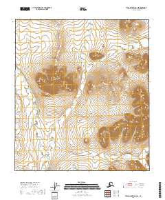
2018 · Table Mountain B-4 SE
USGS Topo · 1:25,000