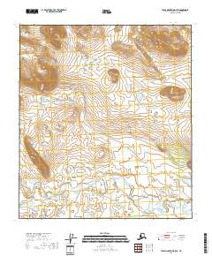
2018 Map of Table Mountain B-5 SE
USGS Topo · Published 2018About this map
The Sheenjek River meanders across the southern landscape of this remote corner of the Yukon-Koyukuk Census Area, defining the hydrology of the territory below Table Mtn. This high plateau, located in the northern half of the survey, serves as the dominant landmark for a vast area of wetlands and glacial terrain. The mapping reflects a landscape defined more by natural drainage and geological formations than by human infrastructure, with the intricate curves of the river suggesting a dynamic wilderness environment. Within the boundaries of the Arctic National Wildlife Refuge, this territory remains primarily untracked, showing no roads or established settlements. The grid of the Public Land Survey System, including t13s r37e and t14s r37e, provides the only human-imposed structure on this corner of the Brooks Range foothills.
Find a feature on this map
10 named features on this map. Tap any name to fly to it.
Don’t see what you’re looking for? This feature index may not catch every label — zoom into the map to look around manually.
Map Details
Editions of this 2018 Table Mountain B-5 SE Map
This is the sole edition of this map. No revisions or reprints were ever made.
Other maps of this area

1951 · Table Mountain
USGS Topo · 1:250,000

1956 · Table Mountain
USGS Topo · 1:250,000

1964 · Table Mountain
USGS Topo · 1:250,000
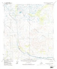
1972 · Table Mountain A-5
USGS Topo · 1:63,360
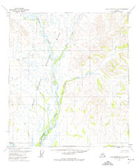
1972 · Table Mountain A-4
USGS Topo · 1:63,360
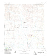
1972 · Table Mountain B-4
USGS Topo · 1:63,360
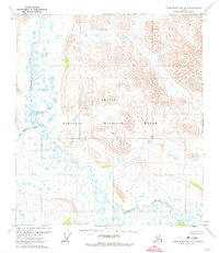
1972 · Table Mountain B-5
USGS Topo · 1:63,360
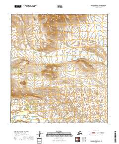
2018 · Table Mountain B-4 SW
USGS Topo · 1:25,000
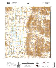
2018 · Table Mountain B-5 NW
USGS Topo · 1:25,000
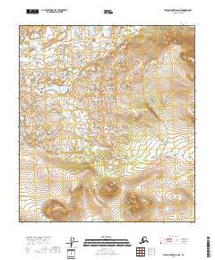
2018 · Table Mountain A-5 NE
USGS Topo · 1:25,000