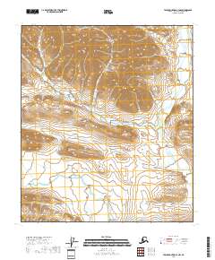
2018 Map of Table Mountain C-3 NW
USGS Topo · Published 2018About this map
North Slope terrain within the T8s R39e and T8s R40e townships is defined by dramatic elevation changes and a total absence of man-made infrastructure. This 2018 survey reveals a landscape shaped purely by natural forces, where deep drainage patterns and steep slopes predominate. The transition between T9s R40e and T9s R41e showcases the intricate topographical detail of this arctic region, highlighting the complex watercourse paths and relief that characterize the northern frontier of Alaska. Without schools, roads, or settlements, the map provides a pure study of the Public Land Survey System applied to undeveloped wilderness.
Find a feature on this map
4 named features on this map. Tap any name to fly to it.
Don’t see what you’re looking for? This feature index may not catch every label — zoom into the map to look around manually.
Map Details
Editions of this 2018 Table Mountain C-3 NW Map
This is the sole edition of this map. No revisions or reprints were ever made.
Other maps of this area

1951 · Table Mountain
USGS Topo · 1:250,000

1956 · Table Mountain
USGS Topo · 1:250,000

1964 · Table Mountain
USGS Topo · 1:250,000
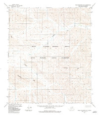
1983 · Table Mountain D-4
USGS Topo · 1:63,360
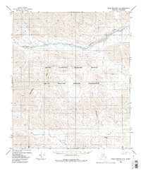
1983 · Table Mountain D-3
USGS Topo · 1:63,360
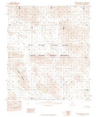
1983 · Table Mountain C-3
USGS Topo · 1:63,360
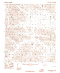
1983 · Table Mountain C-4
USGS Topo · 1:63,360
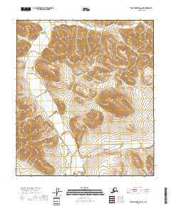
2018 · Table Mountain C-3 SE
USGS Topo · 1:25,000
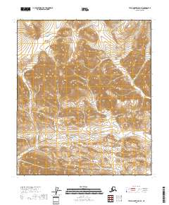
2018 · Table Mountain D-3 SE
USGS Topo · 1:25,000
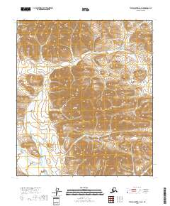
2018 · Table Mountain C-3 NE
USGS Topo · 1:25,000