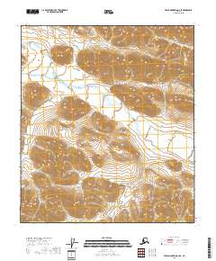
2018 Map of Table Mountain C-4 SE
USGS Topo · Published 2018About this map
The Coleen River meanders through this undeveloped landscape in the North Slope Borough, appearing as a primary waterway in an area defined by significant elevation changes. The terrain is characterized by a dense network of contour lines, illustrating the high mountain ridges and deep drainage basins that dominate the Brooks Range region. The lack of structures or roads on this U.S. Geological Survey map reflects the isolation of this remote Alaskan interior, where the natural course of the river serves as the most prominent landmark. For researchers, the map provides precise topographic data for various townships, including t10s r39e and t11s r40e, useful for identifying specific land tracts and hydrological patterns in this protected northern environment.
Find a feature on this map
9 named features on this map. Tap any name to fly to it.
Don’t see what you’re looking for? This feature index may not catch every label — zoom into the map to look around manually.
Map Details
Editions of this 2018 Table Mountain C-4 SE Map
This is the sole edition of this map. No revisions or reprints were ever made.
Other maps of this area

1951 · Table Mountain
USGS Topo · 1:250,000

1956 · Table Mountain
USGS Topo · 1:250,000

1964 · Table Mountain
USGS Topo · 1:250,000
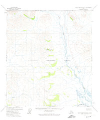
1972 · Table Mountain B-3
USGS Topo · 1:63,360
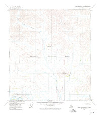
1972 · Table Mountain B-4
USGS Topo · 1:63,360
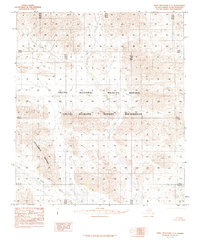
1983 · Table Mountain C-3
USGS Topo · 1:63,360
1983 · Table Mountain C-4
USGS Topo · 1:63,360
2018 · Table Mountain C-3 SW
USGS Topo · 1:25,000
2018 · Table Mountain C-4 NE
USGS Topo · 1:25,000
2018 · Table Mountain C-3 NW
USGS Topo · 1:25,000