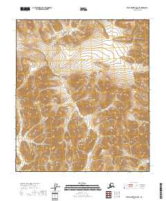
2018 Map of Table Mountain C-5 SE
USGS Topo · Published 2018About this map
North Slope Borough defines this high-latitude terrain, where the landscape is delineated by the Public Land Survey System rather than established settlements or roads. This 2018 survey reveals a topography of immense verticality, with elevation contours indicating steep ridges and drainages that feed unnamed tributaries. The map covers the intersection of several townships including T10s R36e and T10s R37e, where the terrain ascends to over 5,000 feet. Unlike lower-latitude surveys, this sheet contains no named schools, churches, or man-made landmarks, reflecting a region where the environmental character remains largely untouched by permanent infrastructure. Researchers of Alaskan geography will find a precise grid-based representation of the eastern Brooks Range, useful for tracing the hydrography across T9s R36e and adjacent sections.
Find a feature on this map
7 named features on this map. Tap any name to fly to it.
Don’t see what you’re looking for? This feature index may not catch every label — zoom into the map to look around manually.
Map Details
Editions of this 2018 Table Mountain C-5 SE Map
This is the sole edition of this map. No revisions or reprints were ever made.
Other maps of this area

1951 · Table Mountain
USGS Topo · 1:250,000

1956 · Table Mountain
USGS Topo · 1:250,000

1964 · Table Mountain
USGS Topo · 1:250,000
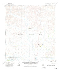
1972 · Table Mountain B-4
USGS Topo · 1:63,360
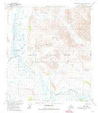
1972 · Table Mountain B-5
USGS Topo · 1:63,360
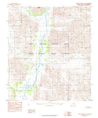
1983 · Table Mountain C-5
USGS Topo · 1:63,360
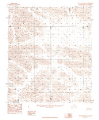
1983 · Table Mountain C-4
USGS Topo · 1:63,360
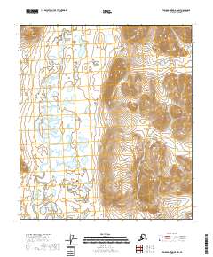
2018 · Table Mountain B-5 NW
USGS Topo · 1:25,000
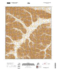
2018 · Table Mountain C-4 SW
USGS Topo · 1:25,000
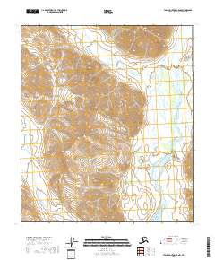
2018 · Table Mountain C-5 NW
USGS Topo · 1:25,000