2014 Map of Table Mountain
USGS Topo · Published 2014About this map
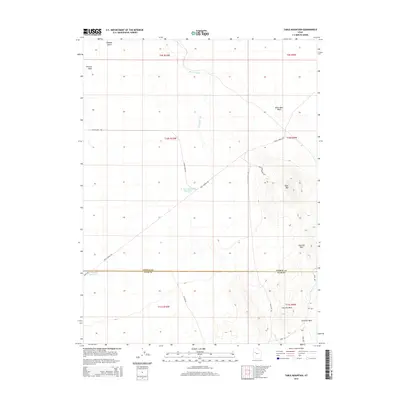
Pony Express Rd cuts a diagonal path across this arid landscape, following a historic transportation corridor through the Great Basin. The terrain is defined by the prominent Table Mtn and the adjacent Slow Elk Hills to the east, while the west is dominated by the broad expanse of Dugway Valley. A notable geologic feature is the Old River Bed, a dry channel that meanders across the northern portion of the map, suggesting a much wetter ancient environment. Water management in this desert environment is evidenced by the N Table Mountain Reservoir and E Dugway Reservoir. Numerous remote tracks such as Flint Springs Rd and Pismire Wash Rd provide access to cattle country and the high ground of White Marl Bluff near the Tooele and Juab county line.
Find a feature on this map
27 named features on this map. Tap any name to fly to it.
Don’t see what you’re looking for? This feature index may not catch every label — zoom into the map to look around manually.
Map Details
Editions of this 2014 Table Mountain Map
This is the sole edition of this map. No revisions or reprints were ever made.
Other maps of this area

1885 · Sevier Desert
USGS Topo · 1:250,000

1885 · Tooele Valley
USGS Topo · 1:250,000

1908 · Fish Springs
USGS Topo · 1:250,000

1910 · Fish Springs
USGS Topo · 1:250,000

1953 · Dugway Range NE
USGS Topo · 1:24,000

1953 · Dugway Pass
USGS Topo · 1:24,000

1953 · Dugway Range
USGS Topo · 1:62,500

1953 · Tooele
USGS Topo · 1:250,000

1953 · Delta
USGS Topo · 1:250,000

1954 · Dugway Proving Ground SE
USGS Topo · 1:24,000