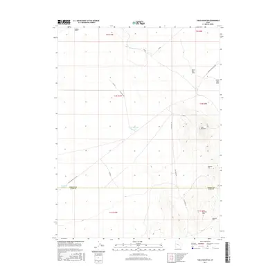
2017 Map of Table Mountain
USGS Topo · Published 2017About this map
Table Mountain rises above the arid landscape of the west-central Utah desert, marking a rugged terrain transition near the boundary of Tooele and Juab Counties. This 2017 survey details the sparse but vital water infrastructure of the region, including the N Table Mountain Reservoir and E Dugway Reservoir. The map illustrates a landscape shaped by ancient processes, featuring the Old River Bed and the distinctive White Marl Bluff to the northeast. Transportation through this remote section of Dugway Valley is defined by long, isolated routes such as the Simpson Springs-Callao Rd and Flint Springs Rd. Further south, the Slow Elk Hills and Slow Elk Wash highlight the topographical character of the Great Basin, where seasonal drainages and local landmarks provide essential orientation points in an expansive wilderness.
Find a feature on this map
18 named features on this map. Tap any name to fly to it.
Don’t see what you’re looking for? This feature index may not catch every label — zoom into the map to look around manually.
Map Details
Editions of this 2017 Table Mountain Map
This is the sole edition of this map. No revisions or reprints were ever made.
Other maps of this area

1885 · Sevier Desert
USGS Topo · 1:250,000

1885 · Tooele Valley
USGS Topo · 1:250,000

1908 · Fish Springs
USGS Topo · 1:250,000

1910 · Fish Springs
USGS Topo · 1:250,000

1953 · Dugway Range NE
USGS Topo · 1:24,000

1953 · Dugway Pass
USGS Topo · 1:24,000

1953 · Dugway Range
USGS Topo · 1:62,500

1953 · Tooele
USGS Topo · 1:250,000

1953 · Delta
USGS Topo · 1:250,000

1954 · Dugway Proving Ground SE
USGS Topo · 1:24,000