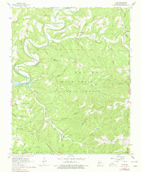
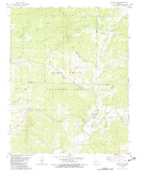
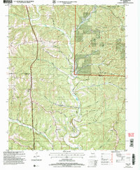
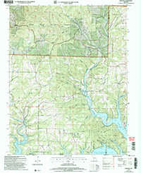
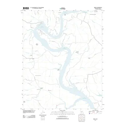
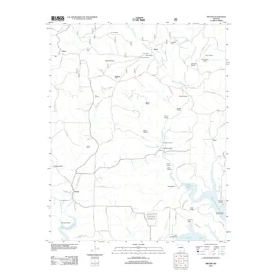
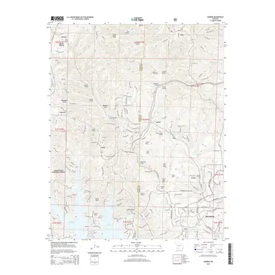
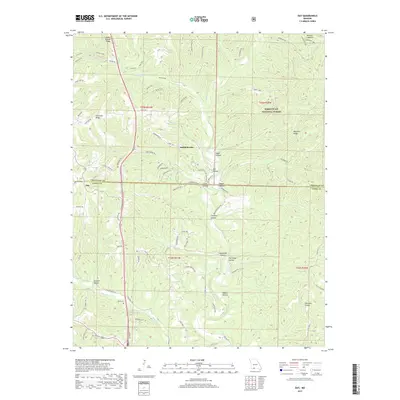
1956 Map of Table Rock Dam
USGS Topo · Published 1981About this map
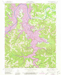
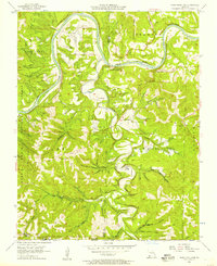
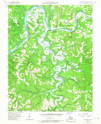
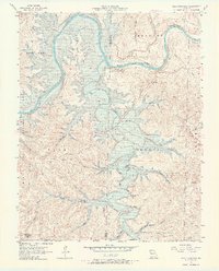
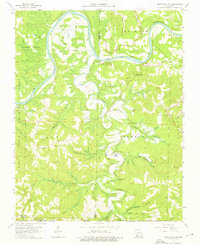
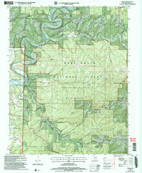
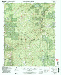
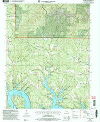
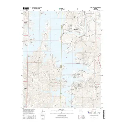
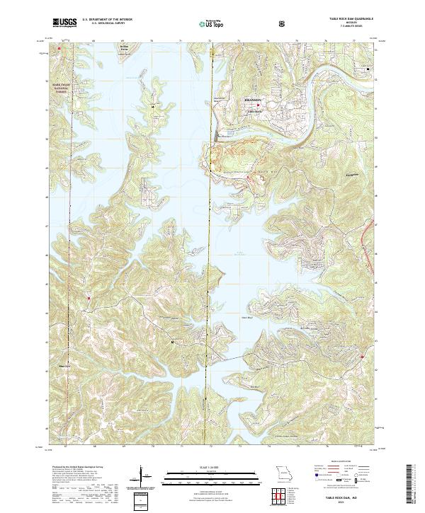
Table Rock Lake and the White River dominate this 1956 landscape, reflecting the significant hydrological changes occurring near the Missouri-Arkansas border during the mid-20th century. The survey documents the area just as the Table Rock settlement and surrounding valley were adapting to the massive reservoir project. High ground features like Compton Ridge and several family landmarks, including Logan Cem and Goodall Cem, provide critical points of reference for genealogists. The map also shows the extensive reach of the Mark Twain National Forest across the western half of the quadrangle. Significant infrastructure for the era is recorded, from the Hollister Lookout Tower to a Gaging Station and Sub sta along the river. Numerous hollows and branches, such as Persimmon Hollow and Beasley Branch, detail the complex drainage system of the Ozark Plateau before further modern development.
Find a feature on this map
39 named features on this map. Tap any name to fly to it.
Don’t see what you’re looking for? This feature index may not catch every label — zoom into the map to look around manually.
Map Details
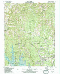
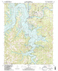
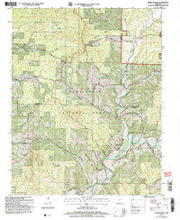
Editions of this 1956 Table Rock Dam Map
5 editions found
Historical Maps of Branson Through Time
55 maps found

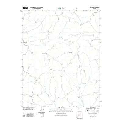
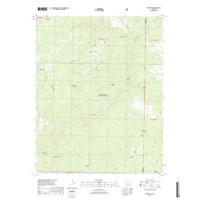
1943 Protem
Taney County, MO

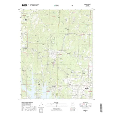
1950 Garber
Taney County, MO
1955 Day
Taney County, MO
1956 Garber
Taney County, MO
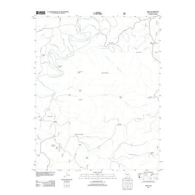
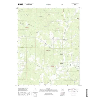
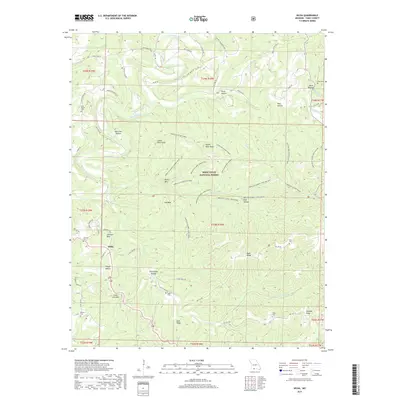
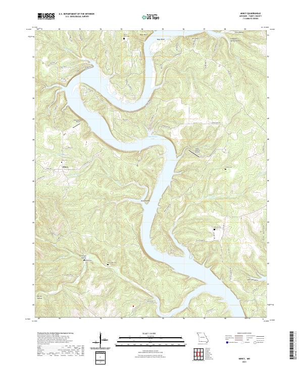
1956 Mincy
Taney County, MO
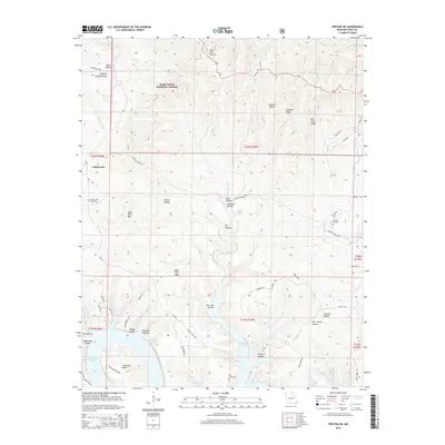
1956 Table Rock Dam
Taney County, MO
1967 Hilda
Taney County, MO
1968 Protem NE
Taney County, MO
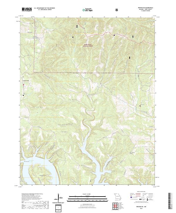
1968 Protem SW
Taney County, MO
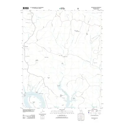
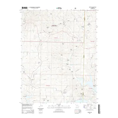
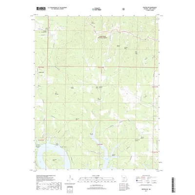
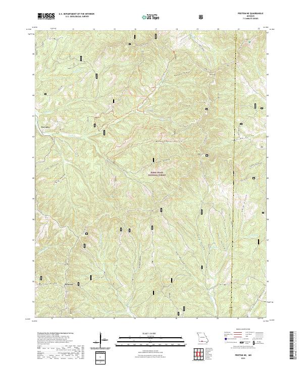
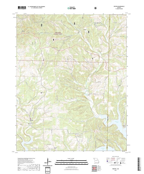
1968 Protem
Taney County, MO
1982 Bradleyville
Taney County, MO
1989 Garber
Taney County, MO
1989 Table Rock Dam
Taney County, MO
2004 Bradleyville
Taney County, MO
2004 Day
Taney County, MO
2004 Hilda
Taney County, MO
2004 Protem NE
Taney County, MO
2004 Protem SW
Taney County, MO
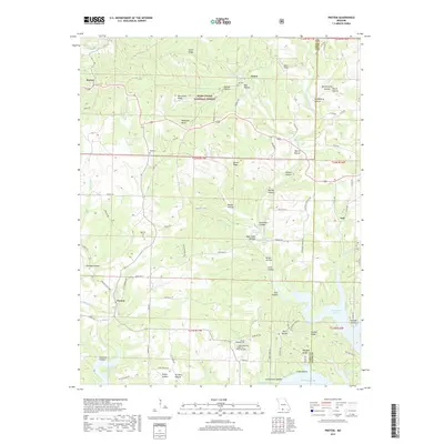
2004 Protem
Taney County, MO
2012 Bradleyville
Taney County, MO
2012 Day
Taney County, MO
2012 Garber
Taney County, MO
2012 Hilda
Taney County, MO
2012 Mincy
Taney County, MO
2012 Protem NE
Taney County, MO
2012 Protem SW
Taney County, MO
2012 Protem
Taney County, MO
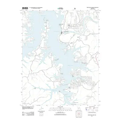
2012 Table Rock Dam
Taney County, MO
2015 Bradleyville
Taney County, MO
2015 Day
Taney County, MO
2015 Garber
Taney County, MO
2015 Hilda
Taney County, MO
2015 Mincy
Taney County, MO
2015 Protem NE
Taney County, MO
2015 Protem SW
Taney County, MO
2015 Protem
Taney County, MO
2015 Table Rock Dam
Taney County, MO
2017 Bradleyville
Taney County, MO
2017 Day
Taney County, MO
2017 Garber
Taney County, MO
2017 Hilda
Taney County, MO
2017 Mincy
Taney County, MO
2017 Protem NE
Taney County, MO
2017 Protem SW
Taney County, MO
2017 Protem
Taney County, MO
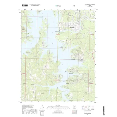
2017 Table Rock Dam
Taney County, MO
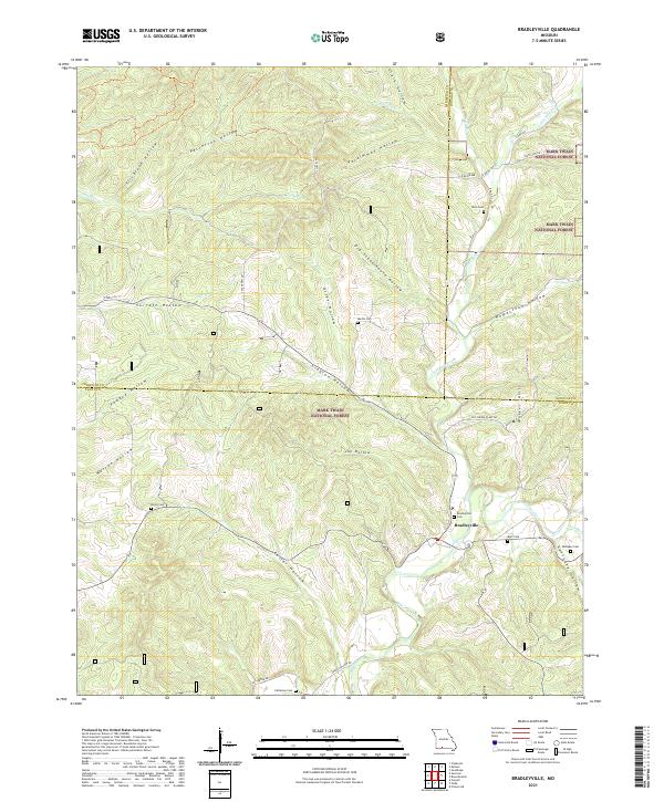
2021 Bradleyville
Taney County, MO
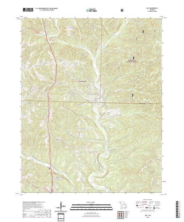
2021 Day
Taney County, MO
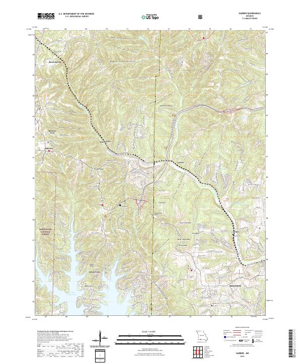
2021 Garber
Taney County, MO
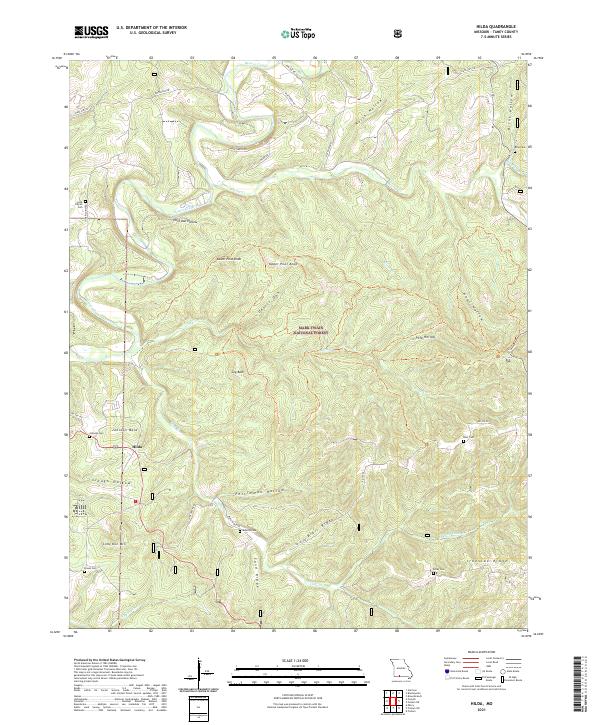
2021 Hilda
Taney County, MO
2021 Mincy
Taney County, MO
2021 Protem NE
Taney County, MO
2021 Protem SW
Taney County, MO
2021 Protem
Taney County, MO
2021 Table Rock Dam
Taney County, MO