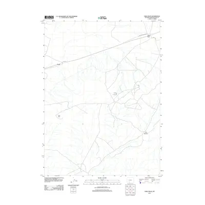
2012 Map of Table Rock
USGS Topo · Published 2012About this map
Table Rock and the surrounding high desert of Sweetwater County are defined by industrial development and transit corridors in this 2012 survey. The landscape is marked by the expansive Table Rock Oil and Gas Field, which is supported by a network of specialized infrastructure including Table Rock Gas Plant Rd. While the terrain appears largely open, the presence of settlements like Monell and the J O Junction indicates the importance of these nodes for regional logistics and energy extraction. The road network, comprising routes like Co Rd 4-65 and Co Rd 55, provides the primary framework for movement across this part of the Wyoming basins, connecting isolated work sites and small community points within the arid environment.
Find a feature on this map
8 named features on this map. Tap any name to fly to it.
Don’t see what you’re looking for? This feature index may not catch every label — zoom into the map to look around manually.
Map Details
Editions of this 2012 Table Rock Map
This is the sole edition of this map. No revisions or reprints were ever made.
Other maps of this area

1954 · Rock Springs
USGS Topo · 1:250,000

1958 · Rock Springs
USGS Topo · 1:250,000

1962 · Rock Springs
USGS Topo · 1:250,000

1968 · Bitter Creek
USGS Topo · 1:24,000
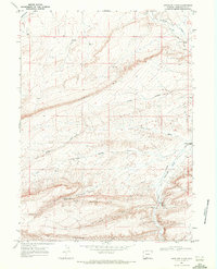
1968 · Antelope Flats
USGS Topo · 1:24,000

1968 · Bitter Creek NE
USGS Topo · 1:24,000

1970 · Table Rock
USGS Topo · 1:24,000

1970 · J O Dugway
USGS Topo · 1:24,000

1970 · Fort La Clede NE
USGS Topo · 1:24,000

1970 · Tipton
USGS Topo · 1:24,000