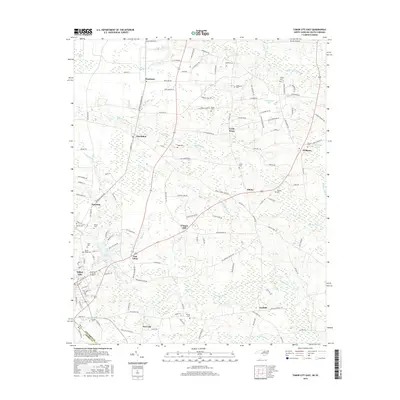
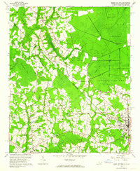
2016 Map of Tabor City East
USGS Topo · Published 2016About this map
The borderlands of Columbus County and Horry County are defined by a network of bay and swamp systems, most notably the wide reach of Grissett Swamp and Beaver Dam Swamp. At the center of this agricultural and wetland landscape, Tabor City sits alongside East Tabor, serving as a hub for the surrounding settlements of Vinegar Hill, Ironhill, and Roseland. The map reveals a high density of family burial grounds scattered throughout the rural countryside, including McPherson, Hinson, and Cribb cemeteries, which offer valuable data points for genealogists researching the families of southeastern North Carolina.
Find a feature on this map
141 named features on this map. Tap any name to fly to it.
Don’t see what you’re looking for? This feature index may not catch every label — zoom into the map to look around manually.
Map Details
Editions of this 2016 Tabor City East Map
This is the sole edition of this map. No revisions or reprints were ever made.
Other maps of this area

1943 · Pireway
USGS Topo · 1:31,680

1943 · Nakina
USGS Topo · 1:24,000
1953 · Pireway
USGS Topo · 1:24,000

1953 · Chadbourn
USGS Topo · 1:62,500

1953 · Florence
USGS Topo · 1:250,000

1954 · Florence
USGS Topo · 1:250,000

1955 · Whiteville
USGS Topo · 1:62,500
1962 · Loris
USGS Topo · 1:24,000
1962 · Goretown
USGS Topo · 1:24,000
1962 · Tabor City West
USGS Topo · 1:24,000