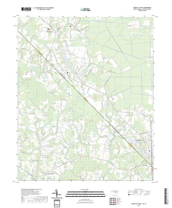
2022 Map of Tabor City West
USGS Topo · Published 2022About this map
The borderlands of the Carolinas are defined here by a dense network of blackwater drainages and Carolina bays, centered on the diagonal boundary between Columbus County and Horry County. Settlement patterns follow the higher ground between these wetlands, with Tabor City anchoring the eastern edge of the sheet. To the northwest, the small community of Cherry Grove sits near a cluster of family burial grounds, including the Lovett Cem and Coleman Cem, illustrating the deep-rooted genealogical history of this rural landscape.
Find a feature on this map
111 named features on this map. Tap any name to fly to it.
Don’t see what you’re looking for? This feature index may not catch every label — zoom into the map to look around manually.
Map Details
Editions of this 2022 Tabor City West Map
This is the sole edition of this map. No revisions or reprints were ever made.
Other maps of this area

1943 · Pages Mill
USGS Topo · 1:62,500

1948 · Bayboro
USGS Topo · 1:24,000

1949 · Bayboro
USGS Topo · 1:24,000

1949 · Duford
USGS Topo · 1:24,000

1953 · Chadbourn
USGS Topo · 1:62,500

1953 · Florence
USGS Topo · 1:250,000

1954 · Florence
USGS Topo · 1:250,000
1962 · Loris
USGS Topo · 1:24,000

1962 · Fair Bluff
USGS Topo · 1:24,000
1962 · Goretown
USGS Topo · 1:24,000