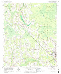
1962 Map of Tabor City West
USGS Topo · Published 1964About this map
Gapway Swamp and Mitchell Swamp dominate this 1962 topographical survey of the borderlands between North Carolina and South Carolina. The landscape is characterized by its distinctive elliptical wetlands, labeled as "bays," including Feathery Bay, Wolf Pen Bay, and Grassy Bay. These geological formations, unique to the Atlantic coastal plain, dictate the placement of local settlements and transit. At the southeastern corner, Tabor City serves as a local hub, where the Atlantic Coast Line railroad runs parallel to the state line. Genealogists will find a wealth of family-named landmarks and cemeteries scattered across the rural landscape, from Williamson Cem in the west to Blanton Cem near the southern border. Along the swamp edges, Richardson Pond and Buffkin Pond provide local water sources near the community of Cherry Grove.
Find a feature on this map
54 named features on this map. Tap any name to fly to it.
Don’t see what you’re looking for? This feature index may not catch every label — zoom into the map to look around manually.
Map Details
Editions of this 1962 Tabor City West Map
2 editions found
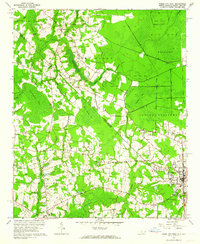
Other maps of this area

1943 · Pages Mill
USGS Topo · 1:62,500

1948 · Bayboro
USGS Topo · 1:24,000

1949 · Bayboro
USGS Topo · 1:24,000

1949 · Duford
USGS Topo · 1:24,000

1953 · Chadbourn
USGS Topo · 1:62,500

1953 · Florence
USGS Topo · 1:250,000

1954 · Florence
USGS Topo · 1:250,000
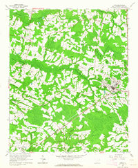
1962 · Loris
USGS Topo · 1:24,000

1962 · Fair Bluff
USGS Topo · 1:24,000
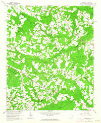
1962 · Goretown
USGS Topo · 1:24,000