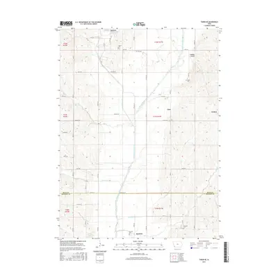
2015 Map of Tabor NE
USGS Topo · Published 2015About this map
Malvern and Randolph anchor this agricultural landscape along the winding corridor of the West Nishnabotna River. The map highlights a rural section of southwest Iowa where the river and its tributaries, such as Silver Creek and Mule Cr, have shaped the placement of early settlements and cemeteries. Genealogists will find critical reference points in the Malvern Cem, Parker Cem, and Riverside Cem, which are positioned near historic town sites like White Cloud and Strahan. The transition from natural watercourses to managed agricultural drainage is visible through features like the Kilpatrick Ditch, while the boundary between Mills and Fremont Counties marks the southern portion of the sheet. The grid of country roads, including Waubonsie Ave and Mulloney Ave, connects these small communities and isolated farmsteads, documenting the enduring spatial organization of the Iowa prairie.
Find a feature on this map
40 named features on this map. Tap any name to fly to it.
Don’t see what you’re looking for? This feature index may not catch every label — zoom into the map to look around manually.
Map Details
Editions of this 2015 Tabor NE Map
This is the sole edition of this map. No revisions or reprints were ever made.
Other maps of this area

1954 · Omaha
USGS Topo · 1:250,000

1955 · Nebraska City
USGS Topo · 1:250,000

1956 · Glenwood
USGS Topo · 1:24,000

1956 · Malvern
USGS Topo · 1:24,000

1957 · Nebraska City
USGS Topo · 1:250,000

1957 · Omaha
USGS Topo · 1:250,000

1957 · Randolph
USGS Topo · 1:24,000

1957 · Tabor
USGS Topo · 1:24,000

1957 · Tabor NE
USGS Topo · 1:24,000

1957 · Tabor SW
USGS Topo · 1:24,000