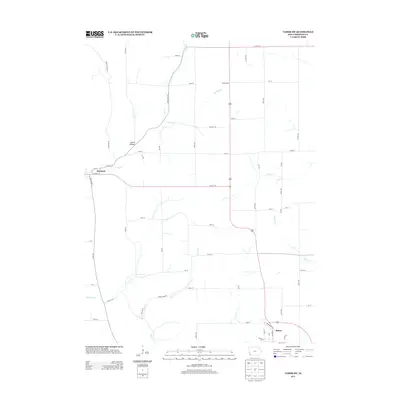
2013 Map of Tabor SW
USGS Topo · Published 2013About this map
Sidney and Thurman anchor this Fremont County landscape, where the Missouri River's influence is seen in the drainage patterns of Plum Cr and Horse Cr. The topography is defined by significant natural depressions such as Dutch Hollow and Green Hollow, while the agricultural character is reinforced by a rigid grid of numbered section roads, including 150th St and 170th St. A notable feature is Dawsonburg, a small settlement in the northern reach near Perkins Cr. Modern infrastructure like Co Hwy-J24 intersects the rural expanse, connecting these farming communities. Genealogists may find interest in the area near Cemetery Rd on the western edge, providing a focal point for local family history in this corner of southwest Iowa.
Find a feature on this map
58 named features on this map. Tap any name to fly to it.
Don’t see what you’re looking for? This feature index may not catch every label — zoom into the map to look around manually.
Map Details
Editions of this 2013 Tabor SW Map
This is the sole edition of this map. No revisions or reprints were ever made.
Other maps of this area

1907 · Nebraska City
USGS Topo · 1:62,500

1935 · Nehawka
USGS Topo · 1:48,000

1939 · Hamburg
USGS Topo · 1:62,500

1940 · Nehawka
USGS Topo · 1:62,500

1941 · Hamburg
USGS Topo · 1:62,500

1955 · Nebraska City
USGS Topo · 1:250,000

1956 · Rock Bluff
USGS Topo · 1:24,000

1957 · Nebraska City
USGS Topo · 1:250,000

1957 · Randolph
USGS Topo · 1:24,000

1957 · Tabor
USGS Topo · 1:24,000