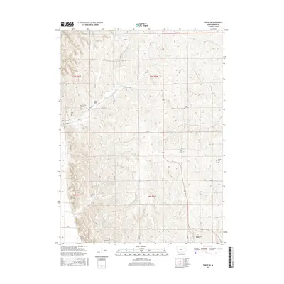
2015 Map of Tabor SW
USGS Topo · Published 2015About this map
The loess hills and creek valleys of Fremont County define this modern topographical study, bookended by the settlements of Thurman in the northwest and Sidney at the southern edge. The landscape is a network of small watersheds and drainages, including Plum Cr, Perkins Cr, and Camp Cr, which carve through the undulating terrain of Dutch Hollow.
Find a feature on this map
48 named features on this map. Tap any name to fly to it.
Don’t see what you’re looking for? This feature index may not catch every label — zoom into the map to look around manually.
Map Details
Editions of this 2015 Tabor SW Map
This is the sole edition of this map. No revisions or reprints were ever made.
Other maps of this area

1907 · Nebraska City
USGS Topo · 1:62,500

1935 · Nehawka
USGS Topo · 1:48,000

1939 · Hamburg
USGS Topo · 1:62,500

1940 · Nehawka
USGS Topo · 1:62,500

1941 · Hamburg
USGS Topo · 1:62,500

1955 · Nebraska City
USGS Topo · 1:250,000

1956 · Rock Bluff
USGS Topo · 1:24,000

1957 · Nebraska City
USGS Topo · 1:250,000

1957 · Randolph
USGS Topo · 1:24,000

1957 · Tabor
USGS Topo · 1:24,000