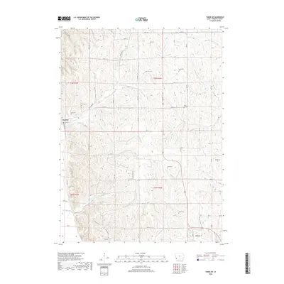
2018 Map of Tabor SW
USGS Topo · Published 2018About this map
Sidney and Thurman serve as the primary hubs in this agricultural pocket of Fremont County. The landscape is defined by a dense network of family and community burial grounds, including the Dawsonburg Cem, Ross Cem, and Penny Cem, which reflect the generations of settlement in the loess hills of southwestern Iowa. Water drainage follows several named tributaries such as Plum Cr, Perkins Cr, and Horse Cr, while the distinct geography of Dutch Hollow and the drainage at Possum Ditch illustrate the complex topography of the Missouri River valley bluffs. This 2018 survey documents the modern road grid and land divisions, preserving the location of established landmarks like the Mount Zion Cem and Lacy Cem for local historians and genealogists.
Find a feature on this map
58 named features on this map. Tap any name to fly to it.
Don’t see what you’re looking for? This feature index may not catch every label — zoom into the map to look around manually.
Map Details
Editions of this 2018 Tabor SW Map
This is the sole edition of this map. No revisions or reprints were ever made.
Other maps of this area

1907 · Nebraska City
USGS Topo · 1:62,500

1935 · Nehawka
USGS Topo · 1:48,000

1939 · Hamburg
USGS Topo · 1:62,500

1940 · Nehawka
USGS Topo · 1:62,500

1941 · Hamburg
USGS Topo · 1:62,500

1955 · Nebraska City
USGS Topo · 1:250,000

1956 · Rock Bluff
USGS Topo · 1:24,000

1957 · Nebraska City
USGS Topo · 1:250,000

1957 · Randolph
USGS Topo · 1:24,000

1957 · Tabor
USGS Topo · 1:24,000