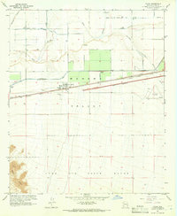
1965 Map of Tacna
USGS Topo · Published 1966About this map
Tacna sits at the heart of an agricultural and transportation corridor in the mid-1960s, bounded by the Gila River to the north and the extensive Luke Air Force Range to the south. The landscape is defined by its water infrastructure, including the Wellton Mohawk Main Canal, a series of siphons, and an aqueduct serving the irrigated fields of the Mohawk Valley. The Southern Pacific railroad parallels the primary highway through Sigma and Colfred, where a large section of the road is marked as under construction. Aviation history is noted by both a localized landing field and the Colfred Airport near the Mohawk Wash. In the southwestern corner, the terrain shifts abruptly from the flat valley floor to the sharp relief of the Baker Peaks.
Find a feature on this map
21 named features on this map. Tap any name to fly to it.
Don’t see what you’re looking for? This feature index may not catch every label — zoom into the map to look around manually.
Map Details
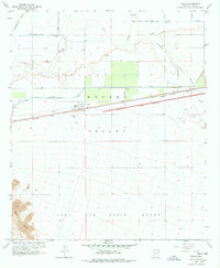
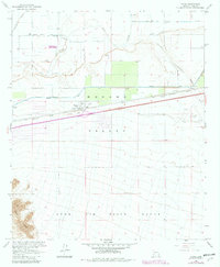
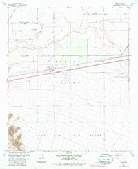
Editions of this 1965 Tacna Map
4 editions found
Other maps of this area

1926 · Wellton
USGS Topo · 1:62,500

1926 · Mohawk
USGS Topo · 1:62,500

1928 · Mohawk
USGS Topo · 1:62,500

1928 · Norton
USGS Topo · 1:62,500

1929 · Wellton
USGS Topo · 1:62,500

1929 · Norton
USGS Topo · 1:62,500

1942 · Yuma
USGS Topo · 1:250,000

1953 · Ajo
USGS Topo · 1:250,000

1954 · El Centro
USGS Topo · 1:250,000

1955 · El Centro
USGS Topo · 1:250,000