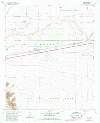
1965 Map of Tacna
USGS Topo · Published 1986About this map
Tacna and the surrounding Mohawk Valley are defined by the intersection of desert aviation, intensive irrigation, and the legacy of the Southern Pacific railroad. This landscape reveals a complex network of water management, where the Gila River is supported by the Wellton Mohawk Main Channel and the Mohawk Canal to sustain agriculture in the arid environment. The presence of the Colfred Airport and an adjacent Landing Strip south of the rail line highlights the region's importance for transportation and aerial operations during the mid-20th century.
Find a feature on this map
17 named features on this map. Tap any name to fly to it.
Don’t see what you’re looking for? This feature index may not catch every label — zoom into the map to look around manually.
Map Details
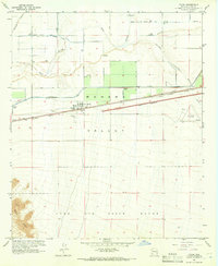
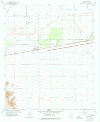
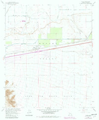
Editions of this 1965 Tacna Map
4 editions found
Other maps of this area

1926 · Wellton
USGS Topo · 1:62,500

1926 · Mohawk
USGS Topo · 1:62,500

1928 · Mohawk
USGS Topo · 1:62,500

1928 · Norton
USGS Topo · 1:62,500

1929 · Wellton
USGS Topo · 1:62,500

1929 · Norton
USGS Topo · 1:62,500

1942 · Yuma
USGS Topo · 1:250,000

1953 · Ajo
USGS Topo · 1:250,000

1954 · El Centro
USGS Topo · 1:250,000

1955 · El Centro
USGS Topo · 1:250,000