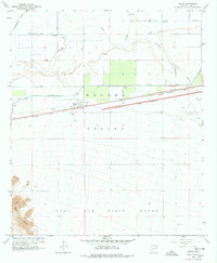
1965 Map of Tacna
USGS Topo · Published 1978About this map
The Mohawk Valley defines this mid-century landscape where agricultural irrigation systems and military flight paths intersect. The Gila River meanders across the northern portion of the sheet, supported by an intricate network of water management features including the Wellton Mohawk Main Channel, the Mohawk Canal, and several large Siphons and flumes. These structures represent the post-war engineering efforts to reclaim the arid desert for cultivation, seen in the gridded fields south of the river.
Find a feature on this map
29 named features on this map. Tap any name to fly to it.
Don’t see what you’re looking for? This feature index may not catch every label — zoom into the map to look around manually.
Map Details
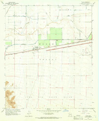
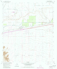
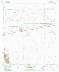
Editions of this 1965 Tacna Map
4 editions found
Other maps of this area

1926 · Wellton
USGS Topo · 1:62,500

1926 · Mohawk
USGS Topo · 1:62,500

1928 · Mohawk
USGS Topo · 1:62,500

1928 · Norton
USGS Topo · 1:62,500

1929 · Wellton
USGS Topo · 1:62,500

1929 · Norton
USGS Topo · 1:62,500

1942 · Yuma
USGS Topo · 1:250,000

1953 · Ajo
USGS Topo · 1:250,000

1954 · El Centro
USGS Topo · 1:250,000

1955 · El Centro
USGS Topo · 1:250,000