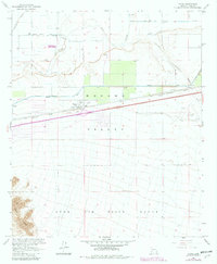
1965 Map of Tacna
USGS Topo · Published 1982About this map
Tacna and the neighboring settlement of Colfred serve as focal points for this irrigation-focused landscape in the Mohawk Valley. The desert terrain is defined by the complex water management system surrounding the Gila River, including the Wellton Mohawk Main Canal, multiple siphons, and an aqueduct. This infrastructure supported agricultural development in a region otherwise dominated by the arid expanse of the Luke Air Force Range, which covers the southern portion of the map near the Baker Peaks.
Find a feature on this map
24 named features on this map. Tap any name to fly to it.
Don’t see what you’re looking for? This feature index may not catch every label — zoom into the map to look around manually.
Map Details
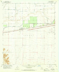
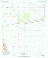
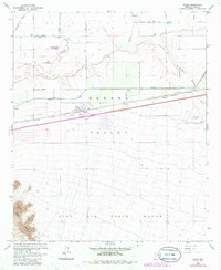
Editions of this 1965 Tacna Map
4 editions found
Other maps of this area

1926 · Wellton
USGS Topo · 1:62,500

1926 · Mohawk
USGS Topo · 1:62,500

1928 · Mohawk
USGS Topo · 1:62,500

1928 · Norton
USGS Topo · 1:62,500

1929 · Wellton
USGS Topo · 1:62,500

1929 · Norton
USGS Topo · 1:62,500

1942 · Yuma
USGS Topo · 1:250,000

1953 · Ajo
USGS Topo · 1:250,000

1954 · El Centro
USGS Topo · 1:250,000

1955 · El Centro
USGS Topo · 1:250,000