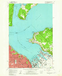
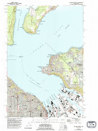
1961 Map of Tacoma North
USGS Topo · Published 1962About this map
The industrial waterfront of Tacoma and the southern reaches of Vashon Island anchor this early 1960s survey of the central Puget Sound. The map documents a dense grid of schools and institutions including the Univ of Puget Sound, Stadium High Sch, and Wright Seminary near the heart of the city. To the north, the maritime character of the region is defined by the Dash Point Lighthouse and Browns Point Lighthouse, which flank the entrance to Commencement Bay.
Find a feature on this map
76 named features on this map. Tap any name to fly to it.
Don’t see what you’re looking for? This feature index may not catch every label — zoom into the map to look around manually.
Map Details
Editions of this 1961 Tacoma North Map
5 editions found
Other maps of this area

1897 · Tacoma
USGS Topo · 1:125,000

1900 · Tacoma
USGS Topo · 1:125,000

1940 · Anderson Island
USGS Topo · 1:62,500

1941 · Tacoma South
USGS Topo · 1:62,500

1942 · Gig Harbor
USGS Topo · 1:62,500

1943 · Gig Harbor
USGS Topo · 1:62,500

1944 · Tacoma South
USGS Topo · 1:62,500

1948 · Anderson Island
USGS Topo · 1:62,500

1948 · Steilacoom
USGS Topo · 1:24,000

1949 · Tacoma North
USGS Topo · 1:24,000