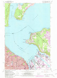
1961 Map of Tacoma North
USGS Topo · Published 1981About this map
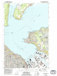
Commencement Bay serves as the industrial and maritime anchor of this coastal survey, where the heavy industry of Tacoma meets the southern reaches of Vashon Island and Maury Island. The map documents a complex waterfront of waterways and basins, including the Blair Waterway, Hylebos Waterway, and Sitcum Waterway, lined with grain elevators and rail infrastructure from the B N and Milwaukee lines.
Find a feature on this map
63 named features on this map. Tap any name to fly to it.
Don’t see what you’re looking for? This feature index may not catch every label — zoom into the map to look around manually.
Map Details
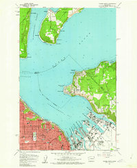
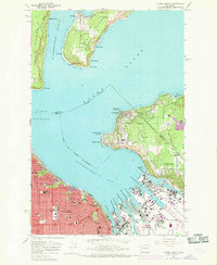
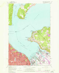
Editions of this 1961 Tacoma North Map
5 editions found
Other maps of this area

1897 · Tacoma
USGS Topo · 1:125,000

1900 · Tacoma
USGS Topo · 1:125,000

1940 · Anderson Island
USGS Topo · 1:62,500

1941 · Tacoma South
USGS Topo · 1:62,500

1942 · Gig Harbor
USGS Topo · 1:62,500

1943 · Gig Harbor
USGS Topo · 1:62,500

1944 · Tacoma South
USGS Topo · 1:62,500

1948 · Anderson Island
USGS Topo · 1:62,500

1948 · Steilacoom
USGS Topo · 1:24,000

1949 · Tacoma North
USGS Topo · 1:24,000