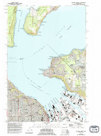
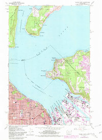
1961 Map of Tacoma North
USGS Topo · Published 1995About this map
Tacoma anchors this coastal survey, where the intricate industrial waterfront of the Port of Tacoma meets the deep waters of Commencement Bay. The map traces the specialized maritime infrastructure along the Hylebos Waterway and Blair Waterway, reaching into the mouth of the Puyallup River. To the north, the terrain transitions into the residential and natural landscapes of Vashon Island and Maury Island, connected by the narrow isthmus at Dockton. The presence of the Puyallup Indian Reservation Bdy crossing through the rising heights of Indian Hill reflects the complex land use history of the region.
Find a feature on this map
72 named features on this map. Tap any name to fly to it.
Don’t see what you’re looking for? This feature index may not catch every label — zoom into the map to look around manually.
Map Details
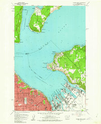
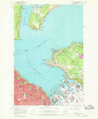
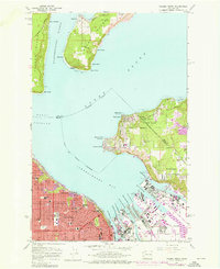
Editions of this 1961 Tacoma North Map
5 editions found
Other maps of this area

1897 · Tacoma
USGS Topo · 1:125,000

1900 · Tacoma
USGS Topo · 1:125,000

1940 · Anderson Island
USGS Topo · 1:62,500

1941 · Tacoma South
USGS Topo · 1:62,500

1942 · Gig Harbor
USGS Topo · 1:62,500

1943 · Gig Harbor
USGS Topo · 1:62,500

1944 · Tacoma South
USGS Topo · 1:62,500

1948 · Anderson Island
USGS Topo · 1:62,500

1948 · Steilacoom
USGS Topo · 1:24,000

1949 · Tacoma North
USGS Topo · 1:24,000