
1901 Map of Tahlequah
USGS Topo · Published 1901About this map
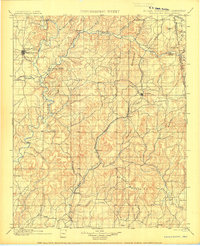
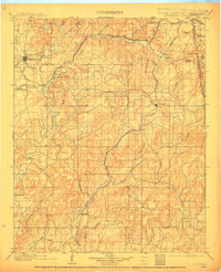
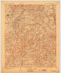
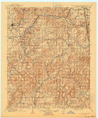
Tahlequah serves as the focal point of this late-nineteenth-century landscape, a period when it was the established capital of the Cherokee Nation. The map reveals a sophisticated social infrastructure through specialized landmarks such as the Female Seminary and the Cherokee Insane Asylum, as well as religious outposts like the Elm Springs Mission. This was an era of transition, documented just as the Kansas City Pittsburg and Gulf R. R. began to reshape trade through eastern settlements like Stilwell and Westville.
Find a feature on this map
58 named features on this map. Tap any name to fly to it.
Don’t see what you’re looking for? This feature index may not catch every label — zoom into the map to look around manually.
Map Details
Editions of this 1901 Tahlequah Map
8 editions found
Other maps of this area

1879 · Fort Smith
USGS Topo · 1:62,500

1887 · Van Buren
USGS Topo · 1:62,500

1890 · Fort Smith
USGS Topo · 1:125,000

1896 · Pryor
USGS Topo · 1:125,000

1898 · Winslow #3
USGS Topo · 1:62,500

1898 · Tahlequah
USGS Topo · 1:125,000

1898 · Winslow
USGS Topo · 1:125,000

1899 · Fayetteville
USGS Topo · 1:125,000

1899 · Siloam Springs
USGS Topo · 1:125,000

1900 · Sansbois
USGS Topo · 1:125,000