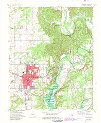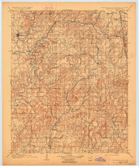
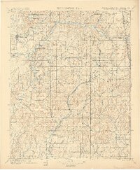
1901 Map of Tahlequah
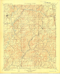
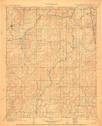
USGS Topo · Published 1927About this map
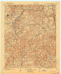
The Tahlequah region at the end of the nineteenth century serves as a vital center of the Cherokee Nation, anchored by the Female Seminary and the Cherokee Orphan Asylum at Parkhill. This survey, conducted just before Oklahoma statehood, reveals a landscape defined by the winding Illinois River and a network of missionary and educational outposts such as the Elm Springs Mission near Welling. Settlement patterns follow the rugged topography of the Brushy Mountains and the strategic corridors of the Kansas City Southern RR and the St. Louis and San Francisco RR. Notable for genealogists are the numerous small communities like Wauhillau, Bunch, and Flint that dot the valleys of Sallisaw Creek and the Barren Fork, reflecting the early transition from tribal lands to structured townships during the Indian Territory era.
Find a feature on this map
57 named features on this map. Tap any name to fly to it.
Don’t see what you’re looking for? This feature index may not catch every label — zoom into the map to look around manually.
Map Details
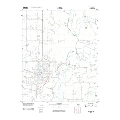
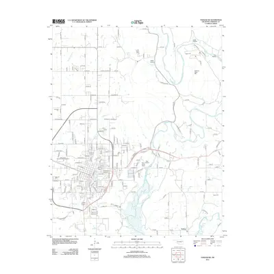
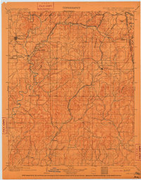
Editions of this 1901 Tahlequah Map
8 editions found

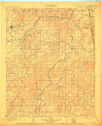
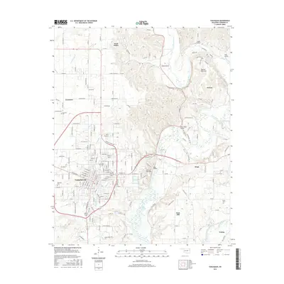
Historical Maps of Tahlequah Through Time
9 maps found