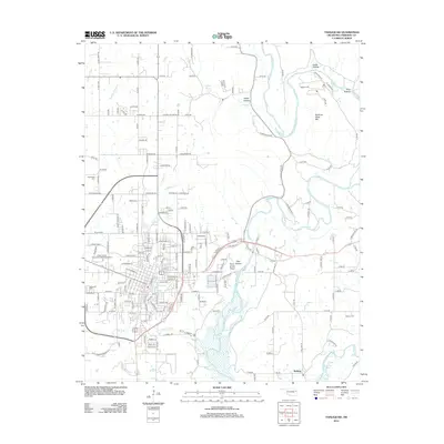
2012 Map of Tahlequah
USGS Topo · Published 2012About this map
The Northeastern State Univ campus and the historic center of Tahlequah dominate this 2012 survey, illustrating the convergence of regional education and government near the Illinois River. The map captures a mix of academic infrastructure and residential growth, with the Indian Capital Technology Center Tahlequah located on the western edge of town. Outside the municipal center, the landscape transitions into the distinctive terrain of the Ozark foothills, characterized by features like Sparrow Hawk Mtn and Point Hollow of the Pines.
Find a feature on this map
180 named features on this map. Tap any name to fly to it.
Don’t see what you’re looking for? This feature index may not catch every label — zoom into the map to look around manually.
Map Details
Editions of this 2012 Tahlequah Map
This is the sole edition of this map. No revisions or reprints were ever made.
Other maps of this area

1896 · Pryor
USGS Topo · 1:125,000

1898 · Tahlequah
USGS Topo · 1:125,000

1899 · Siloam Springs
USGS Topo · 1:125,000

1901 · Muscogee
USGS Topo · 1:125,000

1901 · Pryor
USGS Topo · 1:125,000

1901 · Tahlequah
USGS Topo · 1:125,000

1903 · Siloam Springs
USGS Topo · 1:125,000

1904 · Siloam Springs
USGS Topo · 1:125,000

1905 · Muscogee
USGS Topo · 1:125,000

1905 · Tahlequah
USGS Topo · 1:125,000