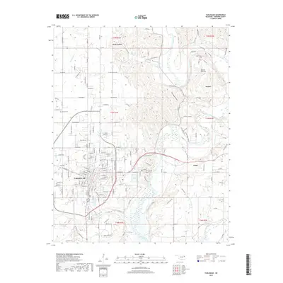
2019 Map of Tahlequah
USGS Topo · Published 2019About this map
Tahlequah serves as the primary urban center in this Cherokee County landscape, where the street grid transitions into the winding valleys of the Ozark foothills. The Illinois River meanders through the eastern half of the map, joined by the Baron Fork in the south, creating a complex drainage system that includes Tahlequah Creek, Pecan Creek, and Double Spring Creek. This water-rich environment is defined by named hollows such as Tully Hollow, Cedar Hollow, and Steely Hollow, the latter of which shares its name with a small upland settlement.
Find a feature on this map
176 named features on this map. Tap any name to fly to it.
Don’t see what you’re looking for? This feature index may not catch every label — zoom into the map to look around manually.
Map Details
Editions of this 2019 Tahlequah Map
This is the sole edition of this map. No revisions or reprints were ever made.
Other maps of this area

1896 · Pryor
USGS Topo · 1:125,000

1898 · Tahlequah
USGS Topo · 1:125,000

1899 · Siloam Springs
USGS Topo · 1:125,000

1901 · Muscogee
USGS Topo · 1:125,000

1901 · Pryor
USGS Topo · 1:125,000

1901 · Tahlequah
USGS Topo · 1:125,000

1903 · Siloam Springs
USGS Topo · 1:125,000

1904 · Siloam Springs
USGS Topo · 1:125,000

1905 · Muscogee
USGS Topo · 1:125,000

1905 · Tahlequah
USGS Topo · 1:125,000