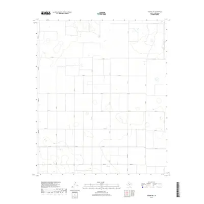
2019 Map of Tahoka SW
USGS Topo · Published 2019About this map
Agricultural patterns and a precise grid of rural thoroughfares define this portion of the Texas South Plains in Lynn County. The landscape is structured by a network of county roads, including the north-south axes of Edward Rd, Co Rd H, and Co Rd M, intersected by east-west routes such as Co Rd 28 and Co Rd 34. These gravel and dirt paths provide access to the vast cotton fields and ephemeral wetlands characteristic of the Llano Estacado.
Find a feature on this map
15 named features on this map. Tap any name to fly to it.
Don’t see what you’re looking for? This feature index may not catch every label — zoom into the map to look around manually.
Map Details
Editions of this 2019 Tahoka SW Map
This is the sole edition of this map. No revisions or reprints were ever made.
Other maps of this area

1954 · Lubbock
USGS Topo · 1:250,000

1954 · Hobbs
USGS Topo · 1:250,000

1954 · Big Spring
USGS Topo · 1:250,000

1954 · Brownfield
USGS Topo · 1:250,000

1958 · Brownfield
USGS Topo · 1:250,000

1958 · Big Spring
USGS Topo · 1:250,000

1958 · Hobbs
USGS Topo · 1:250,000

1962 · Brownfield
USGS Topo · 1:250,000

1969 · Welch East
USGS Topo · 1:24,000

1969 · Mound Lake
USGS Topo · 1:24,000