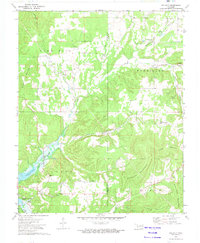
1972 Map of Tailholt
USGS Topo · Published 1974About this map
Tenkiller Ferry Lake dominates the southwestern corner of this 1970s landscape, reflecting the impact of the Corps of Engineers damming projects on the Cookson Hills. The terrain is defined by a series of prominent ridges including Sugar Mountain, Jackson Mountain, and Sanders Mountain, separated by hollows and winding waterways like Caney Creek and Bidding Creek. Small rural communities and landmarks are dispersed throughout the hills, providing valuable data for genealogists and local historians. Settlements such as Tailholt, Wauhillau, and Barber serve as anchors in the region. Local religious and educational life is marked by the Assembly of God Ch and the Tenkiller Sch, while family history is preserved at Barber Cem, Stony Point Cem, and Caney Cem. The map also captures the boundary between Cherokee Co and Adair Co, showing how the political lines overlay this complex system of creeks and timbered heights.
Find a feature on this map
33 named features on this map. Tap any name to fly to it.
Don’t see what you’re looking for? This feature index may not catch every label — zoom into the map to look around manually.
Map Details
Editions of this 1972 Tailholt Map
2 editions found
Other maps of this area

1898 · Tahlequah
USGS Topo · 1:125,000

1901 · Tahlequah
USGS Topo · 1:125,000

1905 · Tahlequah
USGS Topo · 1:125,000

1946 · Fort Smith
USGS Topo · 1:250,000

1965 · Fort Smith
USGS Topo · 1:250,000

1967 · Fort Smith
USGS Topo · 1:250,000
1972 · Tahlequah
USGS Topo · 1:24,000
1972 · Christie
USGS Topo · 1:24,000
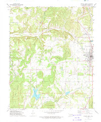
1972 · Stilwell West
USGS Topo · 1:24,000
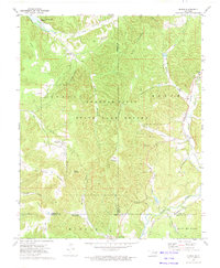
1972 · Bunch
USGS Topo · 1:24,000