
1951 Map of Taku River A-5
USGS Topo · Published 1954About this map
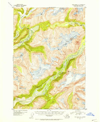
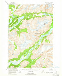
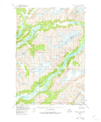
Tongass National Forest dominates this mid-century topographic survey, where the glacially carved landscape of Southeast Alaska is defined by massive river systems and remote alpine lakes. The Speel River and Whiting River flow through the heart of the quadrangle, punctuated by marked rapids that indicate the volatile nature of these glacial drainages. This 1951 survey, based on 1948 aerial photography, documents the wilderness south of Juneau before modern environmental shifts altered the ice fields and shorelines. High elevations are marked by landmarks like Snow Tower, while the coastal transition is captured at Whiting Point and Ox Point. Notable interior water bodies, including the aptly named Upper Sweetheart Lake and Lower Sweetheart Lake, are mapped with precision, providing a primary record of this roadless territory in the early post-war era.
Find a feature on this map
12 named features on this map. Tap any name to fly to it.
Don’t see what you’re looking for? This feature index may not catch every label — zoom into the map to look around manually.
Map Details
Editions of this 1951 Taku River A-5 Map
4 editions found
Other maps of this area

1948 · Sumdum D-6
USGS Topo · 1:63,360

1948 · Sumdum D-5
USGS Topo · 1:63,360

1951 · Taku River A-4
USGS Topo · 1:63,360

1951 · Taku River B-6
USGS Topo · 1:63,360

1951 · Taku River A-6
USGS Topo · 1:63,360

1951 · Taku River B-5
USGS Topo · 1:63,360

1951 · Sumdum D-6
USGS Topo · 1:63,360

1952 · Sumdum
USGS Topo · 1:250,000

1953 · Taku River
USGS Topo · 1:250,000

1955 · Sumdum D-5
USGS Topo · 1:63,360