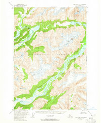
1951 Map of Taku River A-5
USGS Topo · Published 1965About this map
Glacial valleys and sharp peaks define this portion of the Tongass National Forest, as mapped during the early 1950s using aerial photography from 1948. The landscape is dominated by the massive drainage systems of the Speel River and the Whiting River, which carve deep channels through the coastal mountains. This survey records a wilderness of high-elevation benchmarks such as Snow Tower and the prominent Rapids found along the upper river reaches.
Find a feature on this map
16 named features on this map. Tap any name to fly to it.
Don’t see what you’re looking for? This feature index may not catch every label — zoom into the map to look around manually.
Map Details
Editions of this 1951 Taku River A-5 Map
4 editions found
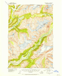
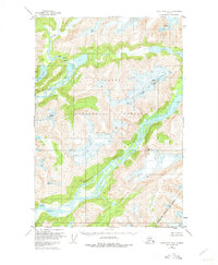
Other maps of this area

1948 · Sumdum D-6
USGS Topo · 1:63,360

1948 · Sumdum D-5
USGS Topo · 1:63,360

1951 · Taku River A-4
USGS Topo · 1:63,360

1951 · Taku River B-6
USGS Topo · 1:63,360

1951 · Taku River A-5
USGS Topo · 1:63,360

1951 · Taku River A-6
USGS Topo · 1:63,360

1951 · Taku River B-5
USGS Topo · 1:63,360

1951 · Sumdum D-6
USGS Topo · 1:63,360

1952 · Sumdum
USGS Topo · 1:250,000

1953 · Taku River
USGS Topo · 1:250,000