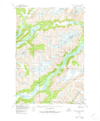
1951 Map of Taku River A-5
USGS Topo · Published 1975About this map
The Tongass National Forest dominates this Alaskan landscape, captured during a 1951 field annotation of earlier aerial photography. The map reveals a wilderness defined by its massive glacial runoff and river systems, most notably the Speel River and the Whiting River. These waterways carve through high elevations marked by prominent peaks such as Snow Tower. The terrain shows no established roads or trails, emphasizing the isolation of the region within the City and Borough of Juneau during the mid-twentieth century.
Find a feature on this map
11 named features on this map. Tap any name to fly to it.
Don’t see what you’re looking for? This feature index may not catch every label — zoom into the map to look around manually.
Map Details
Editions of this 1951 Taku River A-5 Map
4 editions found
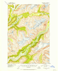
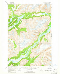
Other maps of this area

1948 · Sumdum D-6
USGS Topo · 1:63,360

1948 · Sumdum D-5
USGS Topo · 1:63,360

1951 · Taku River A-4
USGS Topo · 1:63,360

1951 · Taku River B-6
USGS Topo · 1:63,360

1951 · Taku River A-5
USGS Topo · 1:63,360

1951 · Taku River A-6
USGS Topo · 1:63,360

1951 · Taku River B-5
USGS Topo · 1:63,360

1951 · Sumdum D-6
USGS Topo · 1:63,360

1952 · Sumdum
USGS Topo · 1:250,000

1953 · Taku River
USGS Topo · 1:250,000