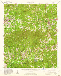
1955 Map of Talbotton
USGS Topo · Published 1961About this map
Talbotton serves as the focal point of this mid-century West Georgia landscape, situated at the junction of several regional routes including Georgia 41. The terrain is defined by the prominent ridge of Oak Mountain in the northwest, which gives way to a dense network of watercourses like Mulberry Creek and Lazer Creek. To the southwest, the boundary of the Fort Benning Military Reservation encroaches upon the rural landscape, altering the traditional land use patterns near Upatoi and Box Springs.
Find a feature on this map
61 named features on this map. Tap any name to fly to it.
Don’t see what you’re looking for? This feature index may not catch every label — zoom into the map to look around manually.
Map Details
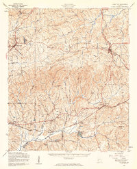
Editions of this 1955 Talbotton Map
2 editions found
Other maps of this area

1907 · Talbotton
USGS Topo · 1:125,000

1908 · Columbus
USGS Topo · 1:62,500

1929 · Columbus
USGS Topo · 1:48,000

1934 · Warm Springs
USGS Topo · 1:62,500

1935 · Thomaston
USGS Topo · 1:48,000

1936 · Warm Springs
USGS Topo · 1:62,500

1939 · Thomaston
USGS Topo · 1:62,500

1947 · Columbus
USGS Topo · 1:62,500

1949 · Midland
USGS Topo · 1:24,000

1949 · Upatoi
USGS Topo · 1:24,000