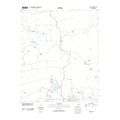
2010 Map of Talihina
USGS Topo · Published 2010About this map
Talihina serves as the primary hub of this eastern Oklahoma landscape, where the town’s streets transition into a network of mountain roads and hollows. The area is defined by its water management and outdoor spaces, featuring several controlled water bodies such as Talihina Lake Dam, Dresser Lake Dam, and the Waterworks Picnic Area. To the north, the small settlements of Bengal and Compton are reached via winding routes like Bengal Rd and Co Rd D1500, which navigate a terrain marked by named peaks including Bear Mountain and Henry G Mountain.
Find a feature on this map
41 named features on this map. Tap any name to fly to it.
Don’t see what you’re looking for? This feature index may not catch every label — zoom into the map to look around manually.
Map Details
Editions of this 2010 Talihina Map
This is the sole edition of this map. No revisions or reprints were ever made.
Other maps of this area

1900 · Winding Stair
USGS Topo · 1:125,000

1901 · Tuskahoma
USGS Topo · 1:125,000

1908 · Tuskahoma
USGS Topo · 1:125,000

1909 · Tuskahoma
USGS Topo · 1:125,000

1909 · Winding Stair
USGS Topo · 1:125,000

1940 · Red Oak
USGS Topo · 1:62,500

1943 · Red Oak
USGS Topo · 1:62,500

1950 · Mcalester
USGS Topo · 1:250,000

1962 · McAlester
USGS Topo · 1:250,000

1965 · McAlester
USGS Topo · 1:250,000