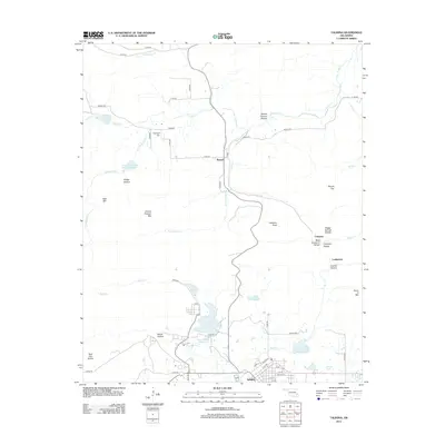
2013 Map of Talihina
USGS Topo · Published 2013About this map
Talihina serves as the primary hub in this LeFlore County landscape, situated at the junction of the Railroad and a network of local streets including Church St and Lake St. The terrain is defined by a series of prominent peaks and deep valleys, such as Granny Graham Mtn and Bear Mtn, interspersed with numerosos hollows like Devils Hollow and Crusher Hollow. Water management is a visible priority across the region, evidenced by the series of reservoirs including Rock Cr Site 2 Reservoir, Rock Cr Site 3 Reservoir, and Rock Cr Site 4 Reservoir. Smaller settlements like Bengal and Compton provide important reference points for genealogists, as does the Peachland Cem located near the northern reaches of Peachland Cr. The map details a transition from the structured grid of the town to the winding rural roads and rugged peaks of the Ouachita region.
Find a feature on this map
62 named features on this map. Tap any name to fly to it.
Don’t see what you’re looking for? This feature index may not catch every label — zoom into the map to look around manually.
Map Details
Editions of this 2013 Talihina Map
This is the sole edition of this map. No revisions or reprints were ever made.
Other maps of this area

1900 · Winding Stair
USGS Topo · 1:125,000

1901 · Tuskahoma
USGS Topo · 1:125,000

1908 · Tuskahoma
USGS Topo · 1:125,000

1909 · Tuskahoma
USGS Topo · 1:125,000

1909 · Winding Stair
USGS Topo · 1:125,000

1940 · Red Oak
USGS Topo · 1:62,500

1943 · Red Oak
USGS Topo · 1:62,500

1950 · Mcalester
USGS Topo · 1:250,000

1962 · McAlester
USGS Topo · 1:250,000

1965 · McAlester
USGS Topo · 1:250,000