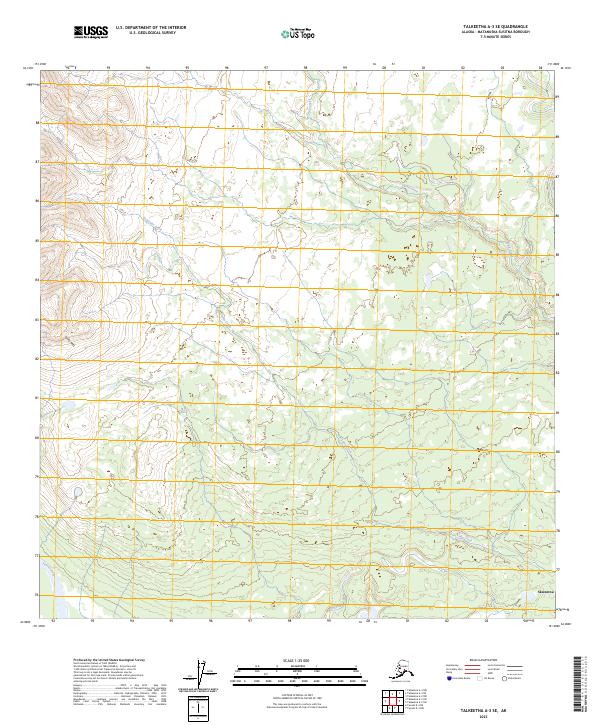
2023 Map of Talkeetna A-3 SE
USGS Topo · Published 2023About this map
Skwentna sits at the southern edge of this Alaskan landscape, where the Yentna River winds through a complex network of wetlands and tributaries. The terrain is defined by the significant rise of the Yenlo Hills in the west, contrasting with the low-lying basin to the east. Waterways like Yenlo Creek and Fish Lake Creek dominate the interior, illustrating the hydraulic character of the Matanuska-Susitna region. Small water bodies such as Link Lake and Bottle Creek suggest the seasonal and shifting nature of the drainage patterns in this subarctic environment. The lack of intensive infrastructure emphasizes the reliance on these natural river corridors for local movement and subsistence in the 21st century.
Find a feature on this map
16 named features on this map. Tap any name to fly to it.
Don’t see what you’re looking for? This feature index may not catch every label — zoom into the map to look around manually.
Map Details
Editions of this 2023 Talkeetna A-3 SE Map
This is the sole edition of this map. No revisions or reprints were ever made.
Other maps of this area

1949 · Tyonek
USGS Topo · 1:250,000

1950 · Talkeetna
USGS Topo · 1:250,000

1951 · Talkeetna
USGS Topo · 1:250,000

1951 · Tyonek
USGS Topo · 1:250,000

1954 · Tyonek D-3
USGS Topo · 1:63,360

1954 · Talkeetna A-3
USGS Topo · 1:63,360

1954 · Tyonek D-4
USGS Topo · 1:63,360

1954 · Talkeetna A-2
USGS Topo · 1:63,360

1958 · Tyonek
USGS Topo · 1:250,000

1958 · Talkeetna
USGS Topo · 1:250,000