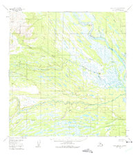
1954 Map of Talkeetna A-4
USGS Topo · Published 1975About this map
The Yentna River winds through this expansive glacial landscape in the mid-1950s, characterized by an intricate network of wetlands, sloughs, and braided waterways. Significant river features like Youngstown Bend and the mouth of the Kichatna River illustrate the dynamic hydrological patterns of the Matanuska-Susitna region. The terrain transitions from the low-lying muskeg and swampy flats to more prominent elevations such as Gold Hill and the long spine of Nin Ridge.
Find a feature on this map
12 named features on this map. Tap any name to fly to it.
Don’t see what you’re looking for? This feature index may not catch every label — zoom into the map to look around manually.
Map Details
Editions of this 1954 Talkeetna A-4 Map
2 editions found
Other maps of this area

1949 · Tyonek
USGS Topo · 1:250,000

1950 · Talkeetna
USGS Topo · 1:250,000

1951 · Talkeetna
USGS Topo · 1:250,000

1951 · Tyonek
USGS Topo · 1:250,000

1954 · Talkeetna A-3
USGS Topo · 1:63,360

1954 · Tyonek D-5
USGS Topo · 1:63,360

1954 · Tyonek D-4
USGS Topo · 1:63,360

1954 · Talkeetna B-4
USGS Topo · 1:63,360

1954 · Talkeetna A-4
USGS Topo · 1:63,360

1954 · Talkeetna B-3
USGS Topo · 1:63,360