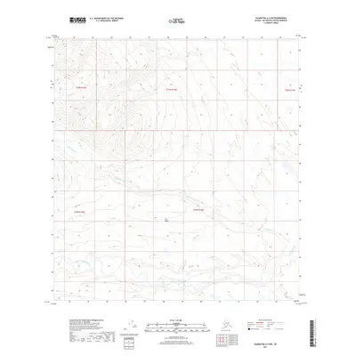
2017 Map of Talkeetna A-4 NW
USGS Topo · Published 2017About this map
Nakockna River and the Kichatna River dominate this wilderness landscape in the Matanuska-Susitna region, where braided water channels snake through low-lying valley floors. The drainage pattern here reflects the dynamic nature of Alaskan glacial-fed rivers, which frequently shift course and reshape the surrounding wetlands. Rising between these major watercourses is Nin Ridge, a prominent terrain feature that provides a topographic contrast to the river plains. To the northeast, the smaller Gagnon Cr contributes its flow to the larger basin. This 2017 survey by the U.S. Geological Survey maps a region defined by its lack of permanent infrastructure, highlighting the raw physical geography of the Talkeetna area before any modern development or road networks reached this specific reach of the river system.
Find a feature on this map
9 named features on this map. Tap any name to fly to it.
Don’t see what you’re looking for? This feature index may not catch every label — zoom into the map to look around manually.
Map Details
Editions of this 2017 Talkeetna A-4 NW Map
This is the sole edition of this map. No revisions or reprints were ever made.
Other maps of this area

1950 · Talkeetna
USGS Topo · 1:250,000

1951 · Talkeetna
USGS Topo · 1:250,000

1954 · Talkeetna B-4
USGS Topo · 1:63,360

1954 · Talkeetna A-4
USGS Topo · 1:63,360

1958 · Talkeetna A-5
USGS Topo · 1:63,360

1958 · Talkeetna B-5
USGS Topo · 1:63,360

1958 · Talkeetna
USGS Topo · 1:250,000

1965 · Talkeetna
USGS Topo · 1:250,000
2017 · Talkeetna B-4 SW
USGS Topo · 1:25,000
2017 · Talkeetna B-4 SE
USGS Topo · 1:25,000