2017 Map of Talkeetna A-4 SE
USGS Topo · Published 2017About this map
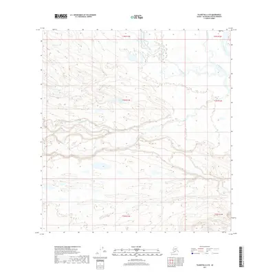
The Kichatna River and Yentna River converge in the northeastern corner of this 2017 survey, defining a landscape dominated by complex braided river systems and glacial runoff. This portion of the Matanuska-Susitna Borough is characterized by low-lying wetland drainage, where Johnson Creek and Red Cr meander through a series of small, unnamed ponds and marshy depressions. Freedom Lake sits as a solitary named water body amidst the surrounding topographical contours, illustrating the isolation of this interior wilderness. The grid of the Public Land Survey System, including townships t23n r13w and t24n r13w, provides the only human-imposed structure over the shifting alluvial plains and intricate watercourses of the Alaska interior.
Find a feature on this map
12 named features on this map. Tap any name to fly to it.
Don’t see what you’re looking for? This feature index may not catch every label — zoom into the map to look around manually.
Map Details
Editions of this 2017 Talkeetna A-4 SE Map
This is the sole edition of this map. No revisions or reprints were ever made.
Other maps of this area

1949 · Tyonek
USGS Topo · 1:250,000

1950 · Talkeetna
USGS Topo · 1:250,000

1951 · Talkeetna
USGS Topo · 1:250,000

1951 · Tyonek
USGS Topo · 1:250,000

1954 · Talkeetna A-3
USGS Topo · 1:63,360

1954 · Tyonek D-5
USGS Topo · 1:63,360

1954 · Tyonek D-4
USGS Topo · 1:63,360

1954 · Talkeetna A-4
USGS Topo · 1:63,360

1958 · Tyonek
USGS Topo · 1:250,000

1958 · Talkeetna
USGS Topo · 1:250,000