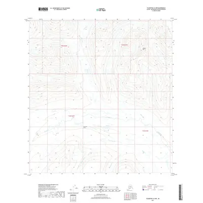
2017 Map of Talkeetna A-6 NW
USGS Topo · Published 2017About this map
Kohlsaat Peak stands as the prominent high point in this 2017 survey of the Alaskan interior, overlooking a complex drainage network within the Matanuska-Susitna Borough. The landscape is defined by the broad Ptarmigan Valley, which serves as a corridor for the Happy River as it winds eastward. This river system is fed by numerous tributaries including Pass Cr and the waters of Halfway Lake. Further south, the map details the headwaters of the Indian River system, specifically where W Fork Indian Cr and E Fork Indian Cr converge into the main Indian Cr. The absence of roads or established settlements emphasizes the primitive state of this terrain, where geographic features like Threemile Cr provide the primary landmarks for navigation through the mountainous wilderness.
Find a feature on this map
13 named features on this map. Tap any name to fly to it.
Don’t see what you’re looking for? This feature index may not catch every label — zoom into the map to look around manually.
Map Details
Editions of this 2017 Talkeetna A-6 NW Map
This is the sole edition of this map. No revisions or reprints were ever made.
Other maps of this area

1949 · McGrath
USGS Topo · 1:250,000

1950 · McGrath
USGS Topo · 1:250,000

1950 · Talkeetna
USGS Topo · 1:250,000

1951 · Talkeetna
USGS Topo · 1:250,000

1958 · Talkeetna A-6
USGS Topo · 1:63,360

1958 · Talkeetna B-6
USGS Topo · 1:63,360

1958 · McGrath B-1
USGS Topo · 1:63,360

1958 · McGrath A-1
USGS Topo · 1:63,360

1958 · Talkeetna
USGS Topo · 1:250,000

1958 · McGrath
USGS Topo · 1:250,000