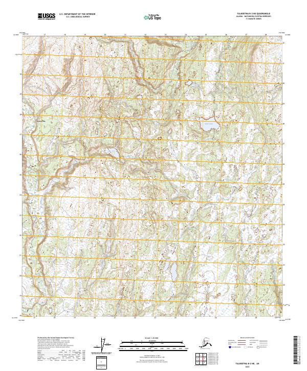
2023 Map of Talkeetna B-2 NE
USGS Topo · Published 2023About this map
Petersville and its surrounding wetlands form the center of this modern landscape in the Matanuska-Susitna Borough. The area is defined by a dense network of water bodies, including Safari Lake and the elongated Twentyfive Mile Lake, which are interconnected by numerous unnamed tributaries and marshes. Access to this territory is primarily provided by Petersville Road, which winds through the northwestern section before transitioning into smaller local connectors.
Find a feature on this map
17 named features on this map. Tap any name to fly to it.
Don’t see what you’re looking for? This feature index may not catch every label — zoom into the map to look around manually.
Map Details
Editions of this 2023 Talkeetna B-2 NE Map
This is the sole edition of this map. No revisions or reprints were ever made.
Other maps of this area

1950 · Talkeetna
USGS Topo · 1:250,000

1951 · Talkeetna
USGS Topo · 1:250,000

1951 · Talkeetna B-1
USGS Topo · 1:63,360

1951 · Talkeetna C-1
USGS Topo · 1:63,360

1954 · Talkeetna B-2
USGS Topo · 1:63,360

1958 · Talkeetna B-1
USGS Topo · 1:63,360

1958 · Talkeetna C-1
USGS Topo · 1:63,360

1958 · Talkeetna C-2
USGS Topo · 1:63,360

1958 · Talkeetna
USGS Topo · 1:250,000

1965 · Talkeetna
USGS Topo · 1:250,000