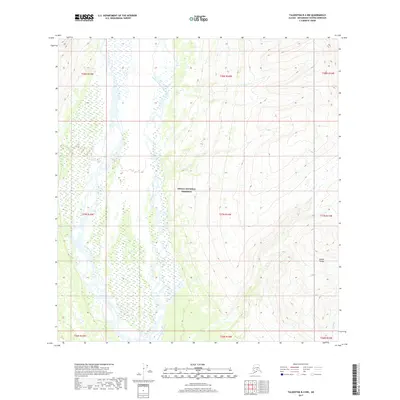
2017 Map of Talkeetna B-4 NW
USGS Topo · Published 2017About this map
Denali National Preserve boundaries encompass much of this interior landscape, where the braided channels of the East Fork Yentna River dominate the valley floor. This 2017 survey details the complex hydrography of the region, including the winding course of Cascade Creek (also labeled in parts as Cascade Cr) as it flows toward the main river system. The terrain transitions from these water-rich lowlands in the west toward the rising slopes of the Alaska Range in the east, where elevation contours tighten significantly. This particular area serves as a pristine example of the Matanuska-Susitna glacial drainage patterns, featuring numerous small unnamed ponds and wetlands surrounding the river forks. Aside from the hydrographic features and the southern boundary of the national preserve, the map is defined by the rigid grid of the Public Land Survey System, spanning multiple townships from t28n r15w to t26n r13w.
Find a feature on this map
15 named features on this map. Tap any name to fly to it.
Don’t see what you’re looking for? This feature index may not catch every label — zoom into the map to look around manually.
Map Details
Editions of this 2017 Talkeetna B-4 NW Map
This is the sole edition of this map. No revisions or reprints were ever made.
Other maps of this area

1950 · Talkeetna
USGS Topo · 1:250,000

1951 · Talkeetna
USGS Topo · 1:250,000

1954 · Talkeetna B-4
USGS Topo · 1:63,360

1958 · Talkeetna B-5
USGS Topo · 1:63,360

1958 · Talkeetna C-4
USGS Topo · 1:63,360

1958 · Talkeetna C-5
USGS Topo · 1:63,360

1958 · Talkeetna
USGS Topo · 1:250,000

1965 · Talkeetna
USGS Topo · 1:250,000
2017 · Talkeetna B-4 NE
USGS Topo · 1:25,000
2017 · Talkeetna C-4 SE
USGS Topo · 1:25,000