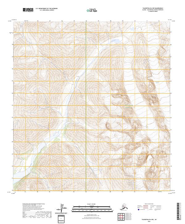
2024 Map of Talkeetna B-6 NW
USGS Topo · Published 2024About this map
The Kichatna Mountains dominate this high-altitude landscape within the Denali National Preserve, where steep vertical relief and glacial systems define the geography. The drainage of the Tatina River cuts a path through the southern reaches of the mountains, fed by several significant ice bodies including the Cul-de-sac Glacier and the Tatina Glacier. This 2024 survey documents the modern state of these glaciers and the dramatic topography of the Cathedral Spires, a series of jagged granite peaks known for their extreme technical terrain. The map provides a precise record of the current glacial extents and hydrological patterns in a remote section of the Alaska Range where human infrastructure is entirely absent, making it an essential reference for understanding the geomorphology of the region's wilderness.
Find a feature on this map
12 named features on this map. Tap any name to fly to it.
Don’t see what you’re looking for? This feature index may not catch every label — zoom into the map to look around manually.
Map Details
Editions of this 2024 Talkeetna B-6 NW Map
This is the sole edition of this map. No revisions or reprints were ever made.
Other maps of this area

1949 · McGrath
USGS Topo · 1:250,000

1950 · McGrath
USGS Topo · 1:250,000

1950 · Talkeetna
USGS Topo · 1:250,000

1951 · Talkeetna
USGS Topo · 1:250,000

1958 · Talkeetna B-6
USGS Topo · 1:63,360

1958 · Talkeetna C-6
USGS Topo · 1:63,360

1958 · McGrath B-1
USGS Topo · 1:63,360

1958 · McGrath C-1
USGS Topo · 1:63,360

1958 · Talkeetna
USGS Topo · 1:250,000

1958 · McGrath
USGS Topo · 1:250,000