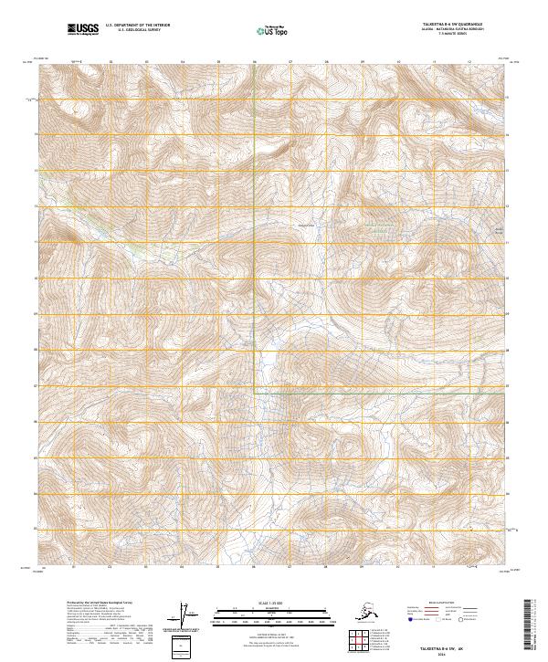
2024 Map of Talkeetna B-6 SW
USGS Topo · Published 2024About this map
Kichatna Mountains dominate this high-altitude landscape within the Alaska Range, where the eastern portion of the map is protected as part of the Denali National Preserve. The terrain is defined by severe elevation changes and narrow drainage corridors, most notably where the Earl River and Kichatna River flow through the deep valleys. A critical transit point across these peaks is found at Simpson Pass, which provides a natural notch between the steep ridges. The drainage patterns of Morris Creek and Threemile Creek further reveal the complex hydrology of this subarctic wilderness. This 2024 data showcases a landscape largely untouched by infrastructure, where the natural contours and water systems remain the primary features of interest for those studying the most isolated corners of the Alaska interior.
Find a feature on this map
12 named features on this map. Tap any name to fly to it.
Don’t see what you’re looking for? This feature index may not catch every label — zoom into the map to look around manually.
Map Details
Editions of this 2024 Talkeetna B-6 SW Map
This is the sole edition of this map. No revisions or reprints were ever made.
Other maps of this area

1949 · McGrath
USGS Topo · 1:250,000

1950 · McGrath
USGS Topo · 1:250,000

1950 · Talkeetna
USGS Topo · 1:250,000

1951 · Talkeetna
USGS Topo · 1:250,000

1958 · Talkeetna A-6
USGS Topo · 1:63,360

1958 · Talkeetna B-6
USGS Topo · 1:63,360

1958 · McGrath B-1
USGS Topo · 1:63,360

1958 · McGrath A-1
USGS Topo · 1:63,360

1958 · Talkeetna
USGS Topo · 1:250,000

1958 · McGrath
USGS Topo · 1:250,000