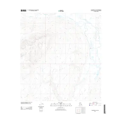
2013 Map of Talkeetna C-2 SE
USGS Topo · Published 2013About this map
The Tokositna River drainage dominates this section of the Matanuska-Susitna Borough, where glacial braided river systems and high-elevation terrain define the landscape. This 2013 survey illustrates a wilderness primarily characterized by its hydrology, with Home Lake and Bunco Lake serving as significant landmarks within a complex network of tributaries. Several drainages, including Long Cr, Ramsdyke Cr, and Cottonwood Cr, move through steep elevation contours that reveal the sharp vertical relief of the Alaska Range foothills. The map provides a detailed look at the Public Land Survey System grid, specifically where the boundaries of T 29 N and T 28 N meet, offering a precise record of these remote townships before any significant modern development.
Find a feature on this map
10 named features on this map. Tap any name to fly to it.
Don’t see what you’re looking for? This feature index may not catch every label — zoom into the map to look around manually.
Map Details
Editions of this 2013 Talkeetna C-2 SE Map
This is the sole edition of this map. No revisions or reprints were ever made.
Other maps of this area

1950 · Talkeetna
USGS Topo · 1:250,000

1951 · Talkeetna
USGS Topo · 1:250,000

1951 · Talkeetna B-1
USGS Topo · 1:63,360

1951 · Talkeetna C-1
USGS Topo · 1:63,360

1954 · Talkeetna B-2
USGS Topo · 1:63,360

1958 · Talkeetna B-1
USGS Topo · 1:63,360

1958 · Talkeetna C-1
USGS Topo · 1:63,360

1958 · Talkeetna C-2
USGS Topo · 1:63,360

1958 · Talkeetna
USGS Topo · 1:250,000

1965 · Talkeetna
USGS Topo · 1:250,000