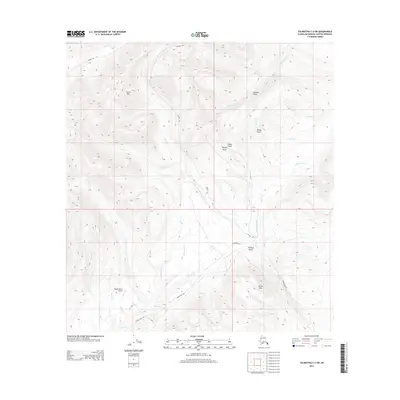
2014 Map of Talkeetna C-2 SW
USGS Topo · Published 2014About this map
Peters Hills and the neighboring Dutch Hills define the high-elevation landscape of this 2014 survey in the Matanuska-Susitna Borough. The area is characterized by a network of seasonal routes and mining-related geography, with Winter Trl and the Cache Creek Trl providing access through the drainage basins of Peters Cr and Cottonwood Cr. The northern reaches are deeply incised by gold-mining era landmarks like Wonder Gulch, Dandy Gulch, and Gopher Gulch. Near the southern boundary, the Petersville Rd terminates near the Nugget Bench Airport, a remote airstrip serving the local mining claims and backcountry expeditions. Dozens of waterways, including Slate Cr, Columbia Cr, and Thunder Cr, create a complex hydrologic pattern that has drawn prospectors to these slopes for generations.
Find a feature on this map
35 named features on this map. Tap any name to fly to it.
Don’t see what you’re looking for? This feature index may not catch every label — zoom into the map to look around manually.
Map Details
Editions of this 2014 Talkeetna C-2 SW Map
This is the sole edition of this map. No revisions or reprints were ever made.
Other maps of this area

1950 · Talkeetna
USGS Topo · 1:250,000

1951 · Talkeetna
USGS Topo · 1:250,000

1954 · Talkeetna B-3
USGS Topo · 1:63,360

1954 · Talkeetna B-2
USGS Topo · 1:63,360

1958 · Talkeetna C-2
USGS Topo · 1:63,360

1958 · Talkeetna C-3
USGS Topo · 1:63,360

1958 · Talkeetna
USGS Topo · 1:250,000

1965 · Talkeetna
USGS Topo · 1:250,000
1994 · Talkeetna B-2
USGS Topo · 1:63,360
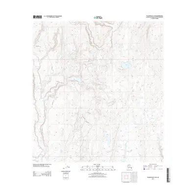
2013 · Talkeetna B-2 NE
USGS Topo · 1:25,000