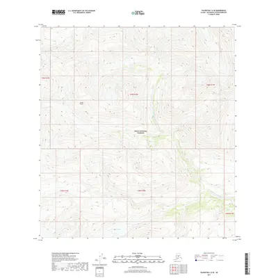
2017 Map of Talkeetna C-6 SE
USGS Topo · Published 2017About this map
Denali National Preserve encompasses a significant portion of this high-altitude landscape, where the glacial processes of the Alaska Range define the local topography. This 2017 survey details a wilderness area primarily shaped by the movement of ice and water, most notably at the Shadows Glacier in the southern portion of the quadrangle. The drainage network is dominated by the West Fork Yentna River, which, along with the W Fork Yentna River, carves deep valleys through the mountain system. The map serves as a precise record of these hydrological features and glacial extents at the start of the twenty-first century, providing essential data for those studying the remote interior of the Matanuska-Susitna region where human infrastructure is entirely absent in favor of protected natural boundaries.
Find a feature on this map
11 named features on this map. Tap any name to fly to it.
Don’t see what you’re looking for? This feature index may not catch every label — zoom into the map to look around manually.
Map Details
Editions of this 2017 Talkeetna C-6 SE Map
This is the sole edition of this map. No revisions or reprints were ever made.
Other maps of this area

1950 · Talkeetna
USGS Topo · 1:250,000

1951 · Talkeetna
USGS Topo · 1:250,000

1958 · Talkeetna B-5
USGS Topo · 1:63,360

1958 · Talkeetna B-6
USGS Topo · 1:63,360

1958 · Talkeetna C-6
USGS Topo · 1:63,360

1958 · Talkeetna C-5
USGS Topo · 1:63,360

1958 · Talkeetna
USGS Topo · 1:250,000

1965 · Talkeetna
USGS Topo · 1:250,000
2017 · Talkeetna C-6 SW
USGS Topo · 1:25,000
2017 · Talkeetna C-5 NW
USGS Topo · 1:25,000